




MUSCAT: Oman is facing the prospect of wetter-than-usual conditions in its northern regions and higher temperatures across the country in the coming months, with a strengthening El Niño weather pattern potentially influencing rainfall and increasing the risk of extreme weather.
A seasonal outlook issued by the Civil Aviation Authority forecasts above-average rainfall across northern Oman in October and November, while temperatures nationwide are expected to remain higher than normal through December.
According to a report by the National Multi-Hazard Early Warning Centre and covering September 2026 to May 2027, El Niño is likely to strengthen in the coming months, reaching its peak in November and December.
Although rainfall in December is expected to remain close to seasonal averages across most of the country, northern areas could continue to experience wetter conditions. Coastal regions along the Arabian Sea, meanwhile, are forecast to receive below-average rainfall in October.
The centre warned that the outlook was shaped by several interacting regional and global climate patterns, rather than El Niño alone, and that seasonal forecasts should not be interpreted as predictions of individual storms or rainfall events.
Historical climate records suggest that El Niño can significantly influence Oman's rainfall patterns, particularly in the north, where moisture flows interact with weather systems approaching from the west.
An analysis of records from 1980 to 2025 found that rainfall during El Niño periods averaged 20 per cent above normal between September and November, rising to 31 per cent between December and February and 54 per cent between March and May.
The centre emphasised that these figures represented historical trends, not projected rainfall increases for the coming season. Their value, it explained, lay in helping forecasters assess potential conditions alongside other climate indicators.
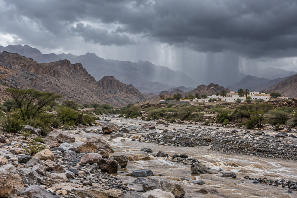
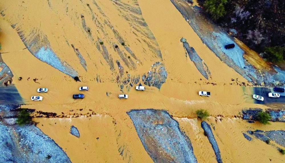
The outlook also highlighted the possibility of intense rainfall capable of causing wadis to overflow and water to accumulate in low-lying areas. Strong winds, rough seas and hail could accompany some weather systems, posing additional risks to residents and motorists.
Tropical weather systems also remain possible in the Arabian Sea between October and December, although their formation and intensity depend on prevailing atmospheric and oceanic conditions.
The report pointed to the El Niño episodes of 1997–1998 and 2015–2016 as examples of periods associated with substantial rainfall in Oman.
In March 1997, successive episodes of heavy rain and thunderstorms produced approximately 86 millimetres of rainfall in the climate record cited by the centre, compared with a long-term average of 14.8 mm.
A similar period of severe weather occurred between March 7 and 11, 2016, when the Al Hamayil low-pressure system brought widespread thunderstorms and heavy rainfall to northern governorates.
The resulting downpours caused wadis to overflow and flooding in several areas. Al Mudhaibi recorded 120.4 mm of rainfall, followed by Al Rustaq with 105.2 mm and Bahla with 101 mm.
Despite the disruption, the rainfall helped replenish water resources, increasing dam storage levels and contributing to groundwater reserves in affected areas. — ONA
Oman Observer is now on the WhatsApp channel. Click here