




MUSCAT: Northern Oman is expected to receive above-average rainfall in the coming months, while temperatures across the country are forecast to remain warmer than usual through December, according to a national report issued by the Civil Aviation Authority (CAA).
The report, prepared by the National Multi-Hazard Early Warning Centre, assesses the seasonal outlook and potential effects of El Niño through May 2027. It identifies possible risks from heavy rainfall, flooding and strong winds, while also examining the likelihood of cold spells and tropical systems.
El Niño expected to peak in November–December
El Niño is expected to strengthen in the coming months and peak during November and December 2026, the report said. Its effects could continue into 2027, although the consequences for Oman will vary by location and time.
Above-average rain forecast for northern Oman
The centre’s seasonal outlook indicates above-average rainfall over northern Oman in October. Rainfall elsewhere is expected to remain around the climatic average, except along coastal areas overlooking the Arabian Sea, where below-average rainfall is forecast.
In November, the northern parts of the country are again expected to receive above-average rainfall, while other regions are likely to record amounts close to their usual levels.
December rainfall is forecast to remain around average across most of Oman, with a possibility of above-average rainfall in the north.
The report said statistical studies conducted by the centre have identified a relationship between El Niño and rainfall associated with winter weather troughs affecting Oman between October and May. El Niño has historically been associated with increased rainfall and moisture flow, with the relationship more pronounced in northern Oman.
An analysis covering 1980–2025 found that rainfall during El Niño years was, on average, 20 per cent higher than the climatic average between September and November, 31 per cent higher between December and February, and 54 per cent higher between March and May.
These figures describe historical patterns and are not specific rainfall increases forecast for the current season.
Flooding and service disruptions among potential risks
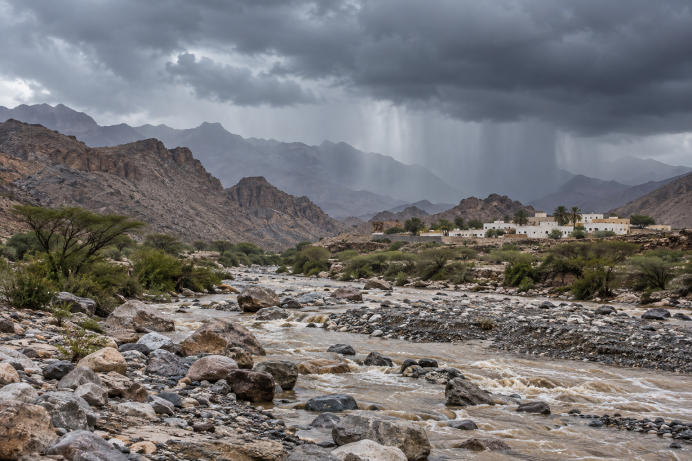
If the seasonal indicators materialise, the report said heavy to very heavy rainfall could cause wadis to flow, with powerful flows in some locations. Homes and facilities in low-lying areas or close to wadi channels could be affected.
Other potential impacts include strong winds capable of dislodging unsecured objects and damaging trees, electricity poles and other infrastructure. Thunderstorms could also bring rough seas, affecting fishing boats and other sea users, while hail may occur in some areas.
Flowing wadis and water accumulation could temporarily disrupt traffic on main and secondary roads. Electricity, water and telecommunications services could also be affected in areas experiencing adverse weather.
Warmer conditions expected through December
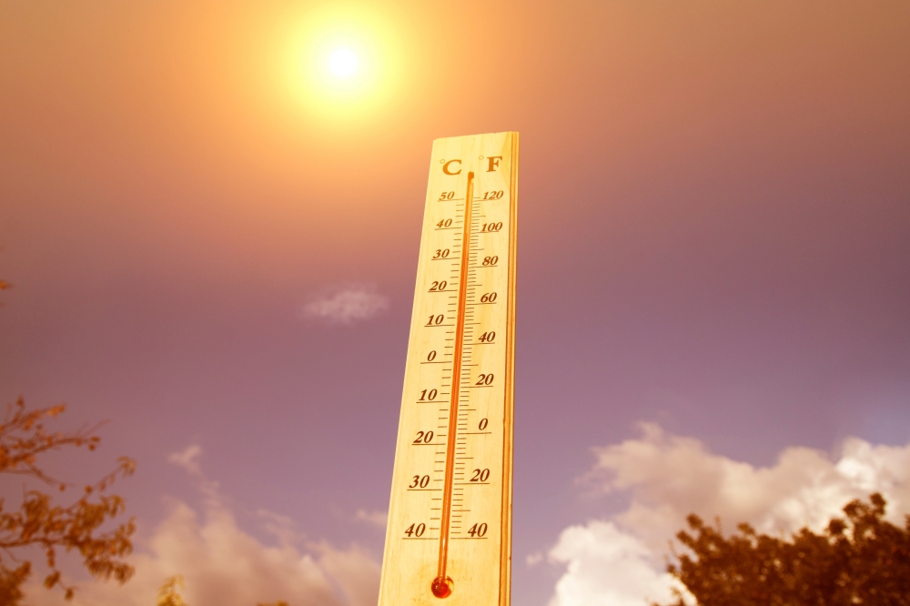
Temperatures are expected to remain above their climatic averages across Oman during October, November and December 2026.
The report stressed that the expected warmth cannot be attributed to El Niño alone. Oman’s weather and climate are influenced by the interaction of several regional and global climate patterns.
Cold spells and mountain snowfall possible
Despite the warmer seasonal outlook, the report identifies cold spells as a possible scenario between December and April. These could bring noticeable temperature drops to several governorates, with temperatures potentially falling below freezing on mountain summits.
Snowfall on high ground and mountain peaks is also possible if suitable weather conditions accompany the cold spells.
Historical temperature analysis showed small average increases during El Niño years in autumn and winter, followed by an average decrease of 0.37°C between March and May, more evident in northern Oman. These historical findings provide context for the assessment rather than a firm temperature forecast for spring 2027.
Arabian Sea tropical systems remain possible
The report also examined tropical cyclone activity in the Arabian Sea during different phases of the El Niño–Southern Oscillation, using records from 1980 to 2025.
It said the possibility of tropical systems forming in the Arabian Sea remains during October–December, with the centre continuing to monitor developments and update its assessments.
Past events offer a reference
The centre studied the strong El Niño events of 1997–1998 and 2015–2016, examining weather conditions recorded in Oman during those periods.
One example was the Al Hamayil weather system, associated with a deep atmospheric trough, which affected Oman from March 7 to 11, 2016. Most northern governorates experienced moderate to heavy thunderstorms, strong winds and hail, causing flowing wadis, rising water levels and flooding in several locations.
Al Mudhaibi recorded 120.4 mm of rainfall during that period, while Al Rustaq received 105.2 mm and Bahla recorded 101 mm. The rainfall also helped replenish water resources and raise dam and groundwater levels in affected areas.
Monitoring and preparedness to continue
The centre said the potential effects of the coming season would differ between cities and villages, requiring continued monitoring and assessment.
It will maintain coordination with sectors involved in the national emergency management system to support early assessment and strengthen preparedness across government, military and private organisations.
Oman Observer is now on the WhatsApp channel. Click here