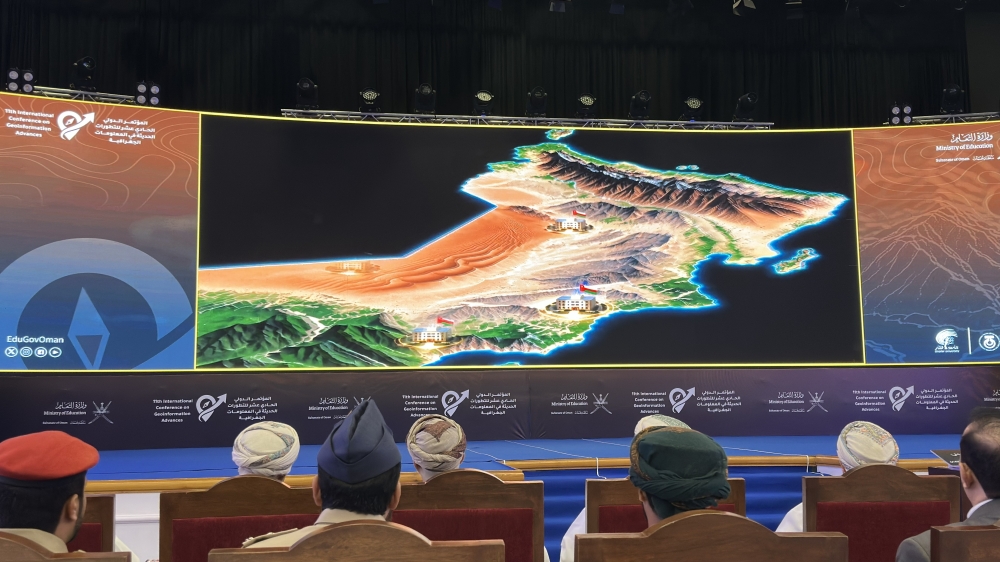





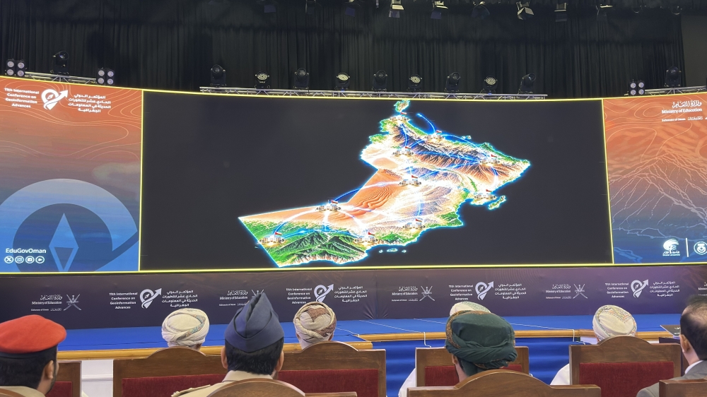
SALALAH: The Digital Educational Atlas of the Sultanate of Oman and the World was launched on Monday, marking a new step in the use of geospatial technology in education as an international conference in Salalah brings together research addressing water security, climate resilience, urban development and digital land administration.
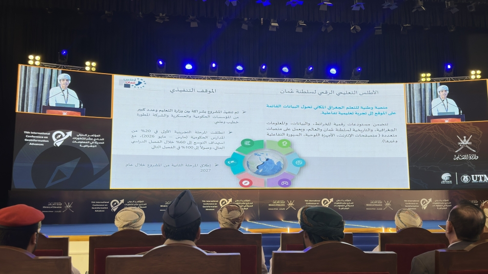
The atlas was launched during the opening of the 11th International Conference on Geoinformation Advances — GeoAdvances 2026 — held under the patronage of His Excellency Sheikh Salem Al Maashani.
The conference, organised by the Ministry of Education in collaboration with Dhofar University and Universiti Teknologi Malaysia, is being held in Salalah on 7 and 8 September, bringing together government institutions, academics, researchers and private-sector specialists working on emerging geospatial technologies and their practical applications.
The scientific programme attracted 80 submissions, of which 72 were accepted, conference organisers said.
Of these, 47 were selected for oral presentations and 25 for scientific posters. Seven submissions were rejected because they fell outside the scope of geographic information systems and the conference themes, while one was withdrawn.
Researchers represented nine countries — Oman, Türkiye, Morocco, New Zealand, France, the Philippines, Sudan, Kuwait and Malaysia — with Oman accounting for the largest share of submissions.
The conference also has an international publication component. Oral contributions are intended, subject to the required editorial and review procedures, for publication in Springer’s Lecture Notes in Geoinformation and Cartography series, with publication planned for December 2026.
Poster contributions are expected to be included in the conference proceedings.
From maps to applied digital skills
The launch of the Digital Educational Atlas is among the main national developments highlighted at this year’s conference.
The platform forms part of the Ministry of Education’s efforts to expand the use of geographic information and digital technologies in teaching, bringing together maps as well as geographic and historical information drawn from government sources for use across grades one to twelve.
Speaking at the opening, Dr Sulaiman bin Abdullah Al Jamoudi, Director-General of Curriculum Development, said the ministry was working to integrate geographic information and modern technologies into curriculum development, teaching, enrichment and documentation, particularly in social studies.
He said GeoAdvances 2026 provides a platform for presenting scientific research, examining emerging trends and exchanging expertise among government, academic and private-sector institutions.
The conference includes seven international scientific speakers and 12 concurrent scientific sessions, while a parallel exhibition brings together 20 government, private-sector and academic organisations displaying projects, systems, equipment and specialised geospatial technologies.
Dr Khalid bin Ahmed Al Kalbani, Project Director of the Digital Educational Atlas, said technological and competitive skills are becoming increasingly important in preparing students for future employment and decision-making roles.
He said artificial intelligence and spatial-data analysis are increasingly becoming part of everyday life rather than remaining specialist technologies confined to GIS professionals.
Education, he said, is also moving beyond a predominantly theoretical approach towards the practical application of concepts and technologies.
The objective is not simply to provide students with information, but to equip them with the ability to use that information and apply technology in practical settings.
The approach reflects a broader theme running through GeoAdvances 2026: the shift of geospatial science from conventional mapping towards tools that can support real-world decisions.
Research targets Oman’s development challenges
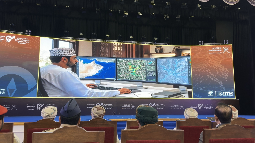
The conference programme covers geospatial artificial intelligence, digital twins, remote sensing, unmanned aerial systems, 3D GIS, Building Information Modelling integration and digital land-administration systems.
A significant share of the research has direct relevance to development and environmental challenges in Oman.
Scientific posters include studies examining groundwater vulnerability in the Salalah Plain, multi-year flash-flood events in Wadi Al Batha, smart mobility in Muscat and the use of drones and deep learning to detect red palm weevil infestation in northern Oman.
Other research examines how artificial intelligence could be used to predict and reduce non-revenue water in Al Khoudh 6, alongside studies of groundwater depletion using satellite data and deep learning.
Urban applications include research into the location of electric-vehicle fast-charging stations in Muscat, urban comfort and land suitability, as well as flood susceptibility in Wadi Al Jahawer.
Researchers are also examining urban heat in Muscat using Landsat satellite observations and Google Earth Engine, reflecting growing interest in the role of spatial data in helping cities respond to rising temperatures and other climate pressures.
Environmental applications extend to the monitoring of greenhouse-gas and air-pollutant emissions in Petroleum Development Oman concession areas using cloud-based remote sensing.
Another study explores a four-dimensional digital cadastre for customary water-time rights associated with Oman’s Unesco-listed aflaj, applying modern land-administration technology to one of the country’s oldest water-management systems.
Research presented at the conference also covers smart tourism in Nizwa, sustainable infrastructure, maritime spatial data, mineral prospectivity and the integration of geospatial technologies into Omani curricula under Oman Vision 2040.
Digital twins and climate-resilient cities
The international keynote programme includes discussions on future land-administration systems, urban digital twins for climate-resilient cities, advances in digital cameras, LiDAR and satellite sensors, geospatial education and AI-enabled geospatial technologies for sustainable decision-making.
The conference was preceded by specialist training sessions covering 3D mapping from high-resolution satellite imagery, land-administration models, quality management of 3D city models and artificial intelligence applications in GIS.
GeoAdvances has held 10 previous editions. Conference material says the series has attracted more than 1,500 researchers and specialists from 40 countries and generated hundreds of peer-reviewed scientific contributions through international academic publications.
The conference concludes on Tuesday with the announcement of the best oral presentation and scientific poster, as well as the host of the 2027 edition.
Oman Observer is now on the WhatsApp channel. Click here