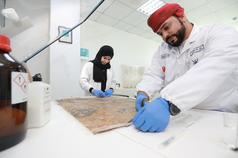


Muscat: A team from the National Records and Archives Authority has repaired and maintained a rare “Earth Image”, an artwork by Al Sharif Al Idrisi (who passed away in 560 AH). It is a compiled copy of maps drawn by the renowned Arab geographer in 1,154 AD.
The working team restored the intactness of the map, which was damaged due to high acidity and loss of water qualities in the artwork, known in Arabic by the name “Soorat Al Ardh”.
The map constitutes an important historical reference and it is compiled from historical maps drafted by Arab and Muslim geographers and historians. It contains minute details of that historical epoch, including contemporary countries, seas and regions.
The Sultanate of Oman is clearly indicated in the map as “Oman”, along with markings showing key cities and districts like Muscat, Suhar, Dima, Qalhat, Sur, Dhofar, Mirbat, Hasik, Qubat-Qabr-Hood (the Dome of Prophet Hood), Saal and Sir-Oman (Al Dhahirah).
Oman Observer is now on the WhatsApp channel. Click here