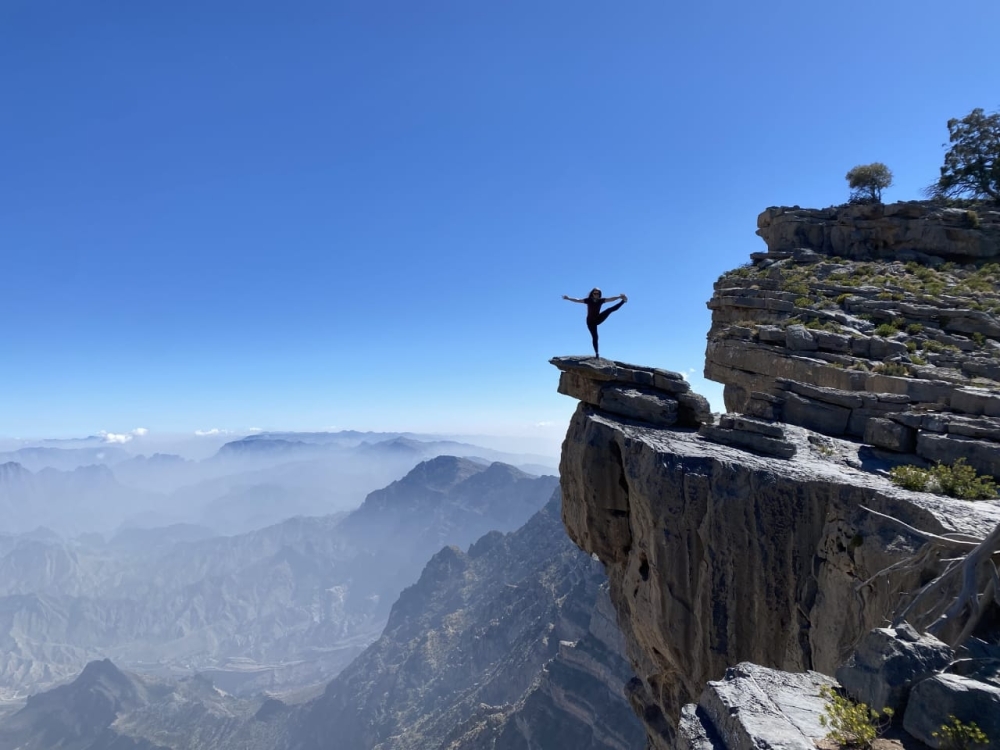
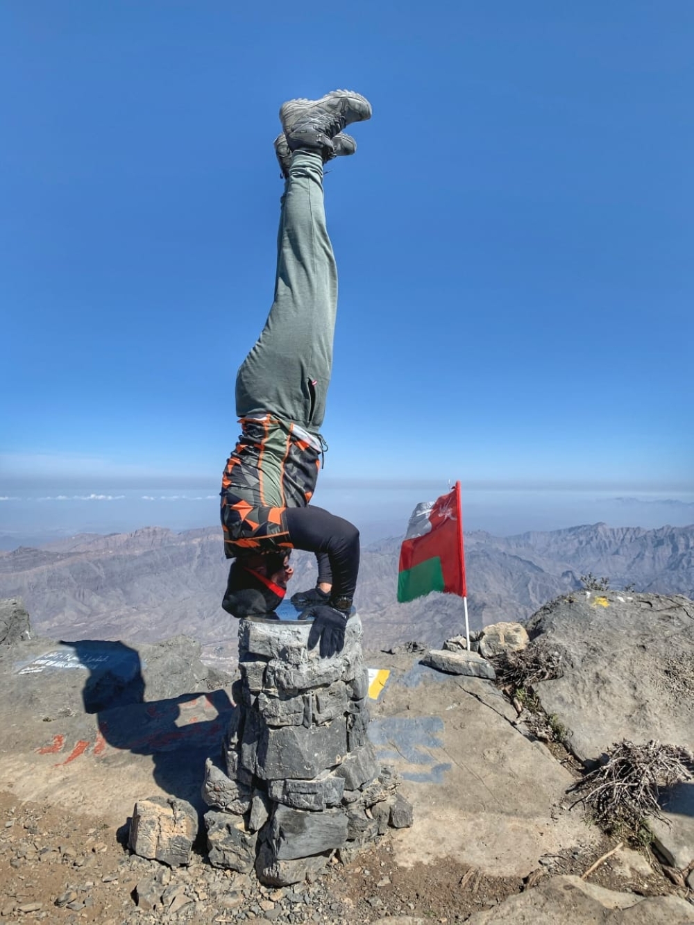
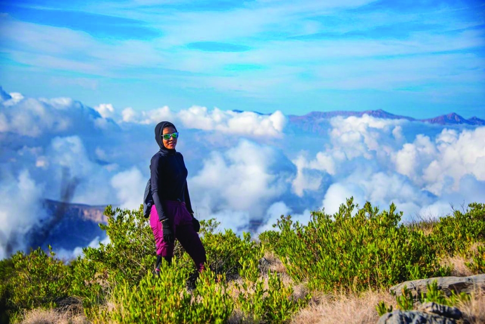
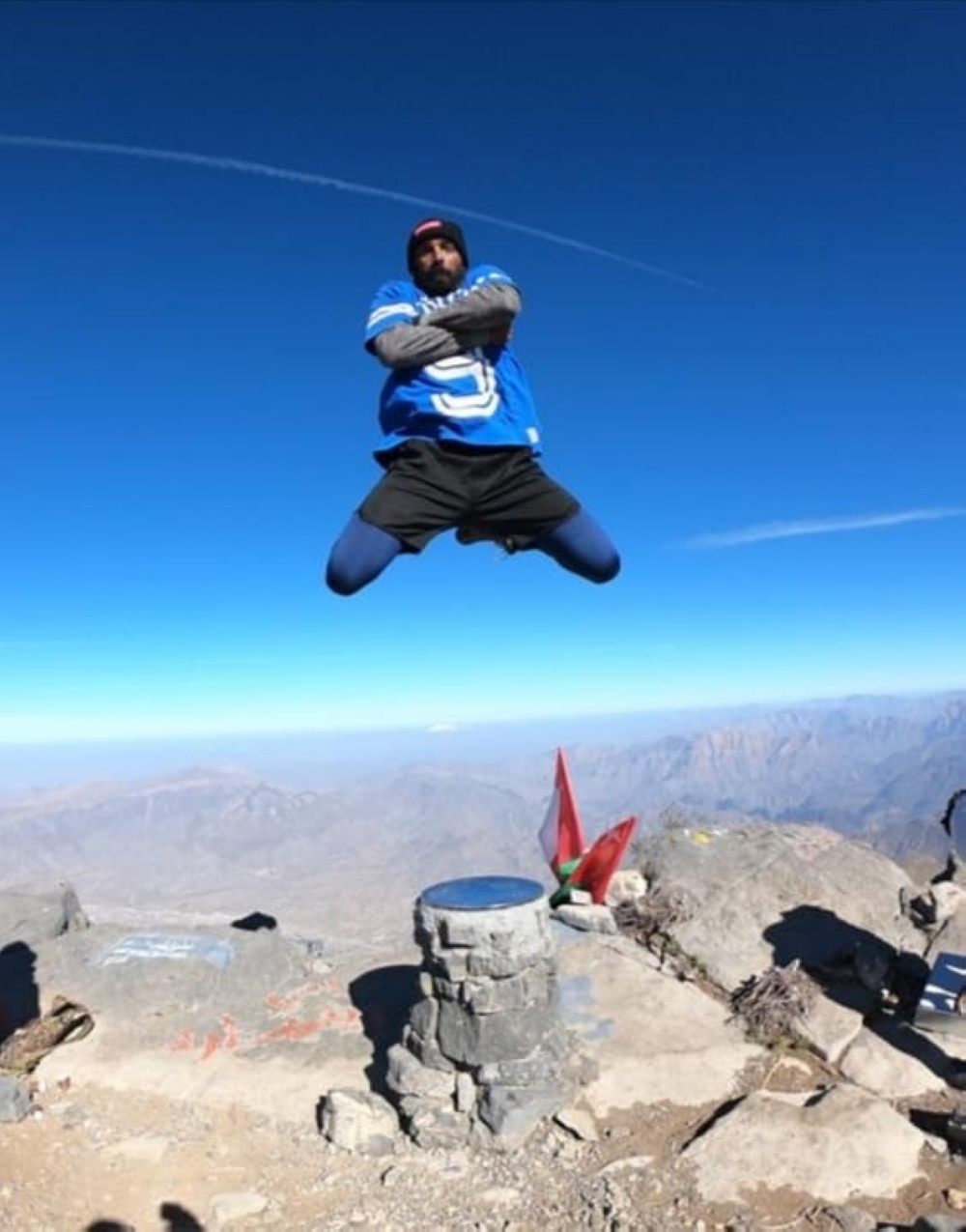
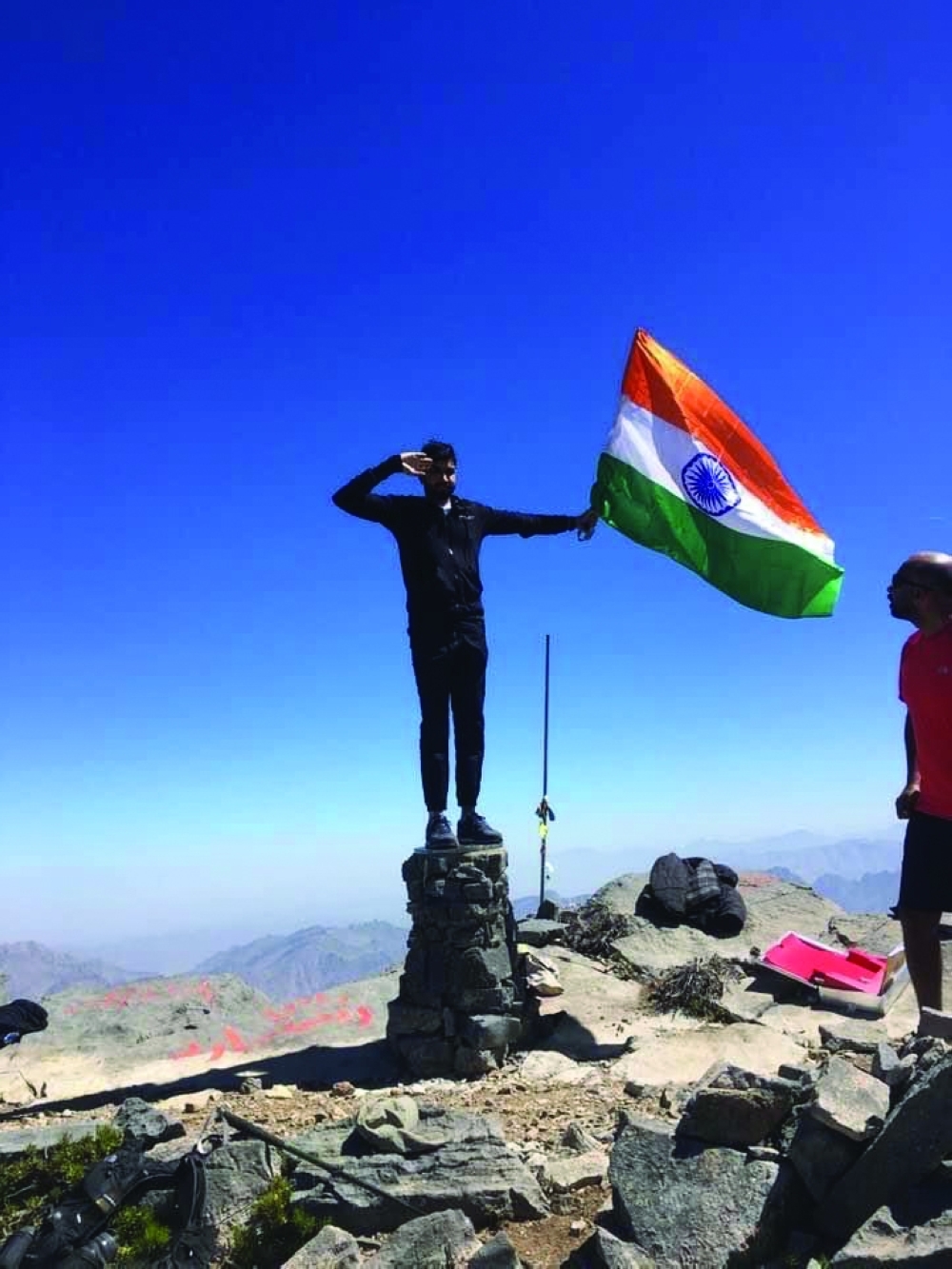
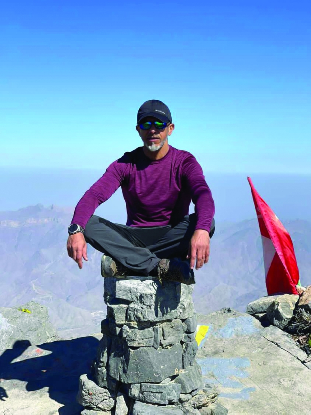
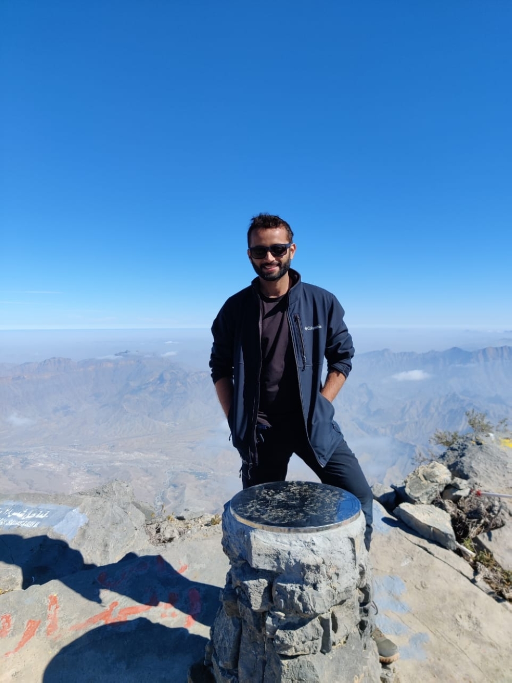
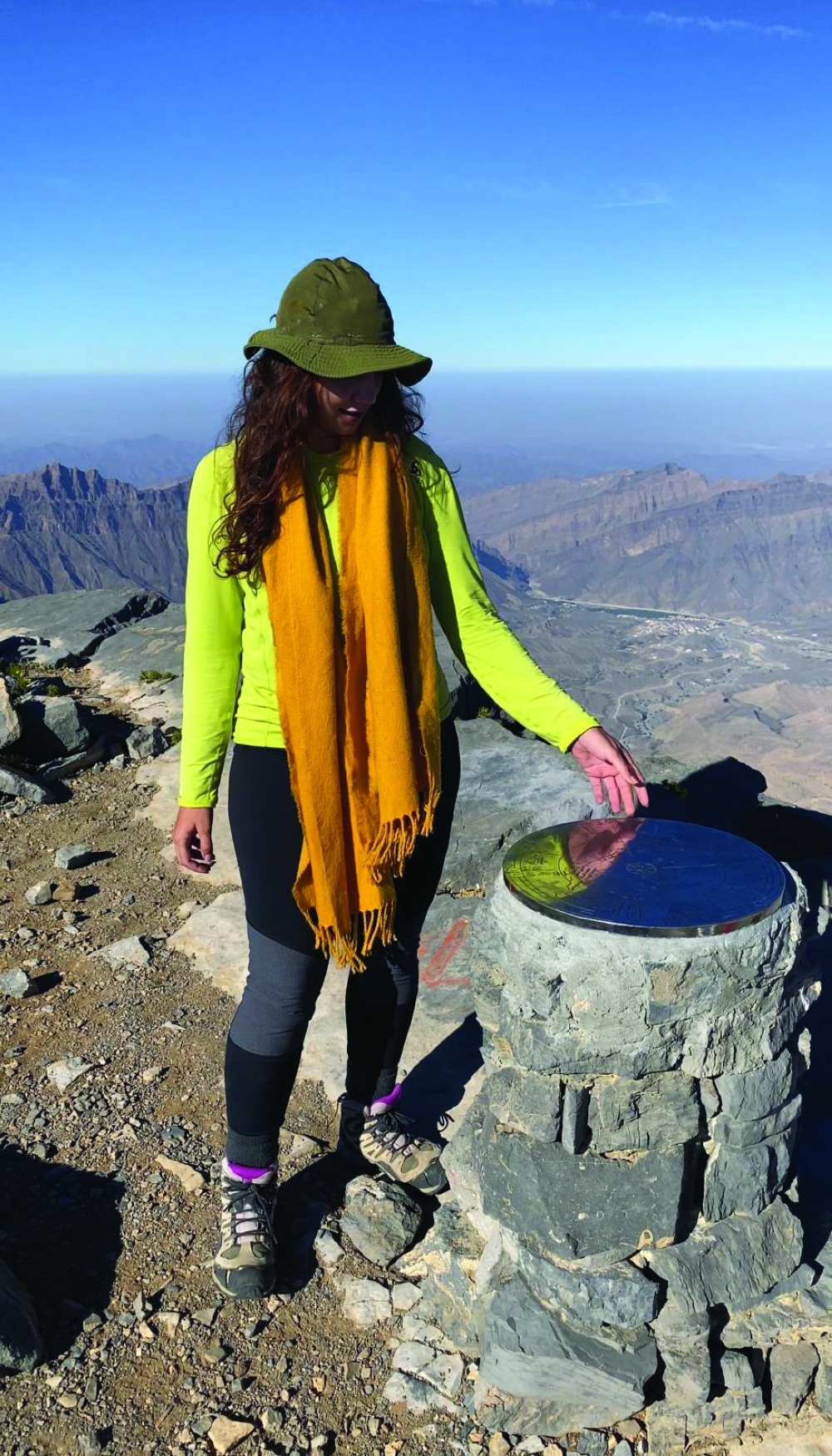


For many hikers in the Sultanate of Oman, Jabal Shams is the ultimate test of endurance. Climbing the summit needs a lot of preparation. Every once in a while however, people new to the country or even newbie hikers felt that it can easily be done. This can be a fatal mistake. We’ve compiled 25 facts you need to know before deciding to conquer the Sultanate of Oman’s highest peak.
When is the best time to climb this mountain?
Based on my experience, winter (Dec - Feb) is the best time to attempt this mountain. Before selecting any day, one must check the weather forecast, as sometimes there are rains in winter, which adds to the difficulties. It is not advisable to make a plan on any rainy day. During summer it is very difficult as this mountain gets the direct rays of the sun which make the place extremely hot.
How should I prepare for this hike?
Preparing for the hike involves both physical and mental preparation, both of which are equally important. For physical preparation - increase your daily walks, practise walking with a backpack, as you’ll be carrying water and food items (min of 6 Kgs on your shoulder during the hike), strength exercises, the stronger you get the less you’ll be tired afterwards. Also, it is always helpful if you try a few long hikes before going to the summit which will check your stamina and endurance level. Work on your timing so that you can easily cover the entire trail by 12 hrs maximum. And then get ready mentally, visualise yourself at the summit and go for it, you can go further than you think, we are so much stronger than we think. On summit day: Find your pace, take rest if you need, have a positive mindset.
Can I do this trip solo although I am a beginner?
While you might have done other hikes and have prepared physically and mentally for the summit, I won't suggest any hiker go on this trail all by himself/herself. The hike is long and even an expert hiker can face any unprecedented situations. In the trail, in most of the places, there is no cellular connectivity, so the hikers are completely cut off. In case of any emergency situation, it is very difficult for the person to manage everything and get back to the base if they are by themselves. A group of 4 is ideal so that in an emergency, they can group to two and look for help.
What should I carry along with me if I attempt to do in 1 day?
If you are doing this in winter as ideally it should be, you must carry 4-5 ltr of water (preferably mixed with glucose). Carrying very light snacks like a few baby carrots, apples, dates, nutty bars, etc. is sufficient. The quantities should be very limited otherwise, the weight of the backpack will increase which will make things worse for the hiker. Also bring headtorch, lightweight jackets (depending upon the weather forecast), gloves, a walking stick, sunglasses, hat, suncream, fully charged phone with extra battery back up and an emergency medicine kit.
As this hike is long, would you suggest hiking in one day or two days?
I would say in one day if you are a person that does this kind of hike a lot. If you want to experience the climate up there, then yes, you have to try a night camp next to the compass at the summit. However, if you are a total beginner, I will suggest that you do this in two days that way you can phase yourself properly. You can camp by the first balcony we usually call the chair fettle Al Amin. You can build a camp and then continue to the summit at sunrise.
What kind of precautions needs to be taken?
We call this mountain the "sun mountain" because the first rays of the sun hit this mountain first. Even during winter, the rays of the sun will be right on your face and there be no shady area to save you from this. Pack lightly but make sure you have all the right items. Inform your emergency contacts about your destination as there is no cell service in the area. Stay away from bushes as to not get bitten by snakes. Make sure you use comfortable and tested shoes. If you are camping, be mindful of the fire you create. Always follow the trail and stay with your group.
How should I plan my time frame for this hike?
Reach Jabal Shams the night before. Start your hike before sunrise. If going for a one day trip, make sure to reach the summit before 1.30 pm so that you have plenty of light coming back. Time yourself properly. Remember you are covering several kilometres of trail. Don't push it if you don't reach the target time. And always have a plan B.
If I camp, what threats should I prepare for?
Jabal Shams, being a remote location, is home to different animals some of them venomous. So always be mindful of snakes. Expect also lots of insects in the mountain. It is advisable to have a proper tent to keep yourself safe. Based on experience, there are not a lot of dangerous wild animals in these mountains. You may encounter goats and donkeys but other than that, it is relatively safe. Always keep your headtorch at night.
In case of any emergency, how to get in touch with the rescue team?
In case of any emergency Dial 49 and get in touch with ROP. Or else If the army base is near, you can try getting in touch with them for an emergency. It is always advisable to be in a small group of at least 4 to do the summit that way, you always have a pair to go with.
What should be a good hiking plan if I am a beginner?
If you're doing it in one day, make sure to start the hike before sunrise and finish right before sunset. This means that you should be fit enough to complete 23 km in max 12 hours. For those doing two days, the best place to camp would be at the summit point or the balcony below the summit. It's a good place to catch the sunrise. Know your limits well and always seek for expert advise before embarking on a hiking journey.
Is there a camp or inn I can stay in Jabal Shams?
These days there are plenty of options available to stay at Jabel Shams. Depending on the budget one can select a resort or guest house. Camping is another good option. Sama Heights Resort is the closest one to the trail starting point. Other than this Jabel Shams Resort is just about 15 min drive from the trail. There are many guest houses which offers clean private rooms with attached toilets. I can advise Star Guest House as I have personally stayed there and liked their property.
Is camping preferable or booking a stay at an inn is better?
There's no answer that fits all. This choice depends entirely on each individual. If you’re accustomed to spending time outside and camping, then camping before the summit would be a good choice for you. You can camp up on Jebel Shams plateau overlooking the canyon, or choose a more sheltered camping spot closer to the start of the Summit trail.
In case I finish my water supply, is there a water supply in the mountain that I can get drinking water?
In the Summit trail, there is no source of fresh water and hence everyone is suggested to bring the water supply along with them. Mostly 4-5 litres of water is required while doing this hike but water intake also depend on the individual.
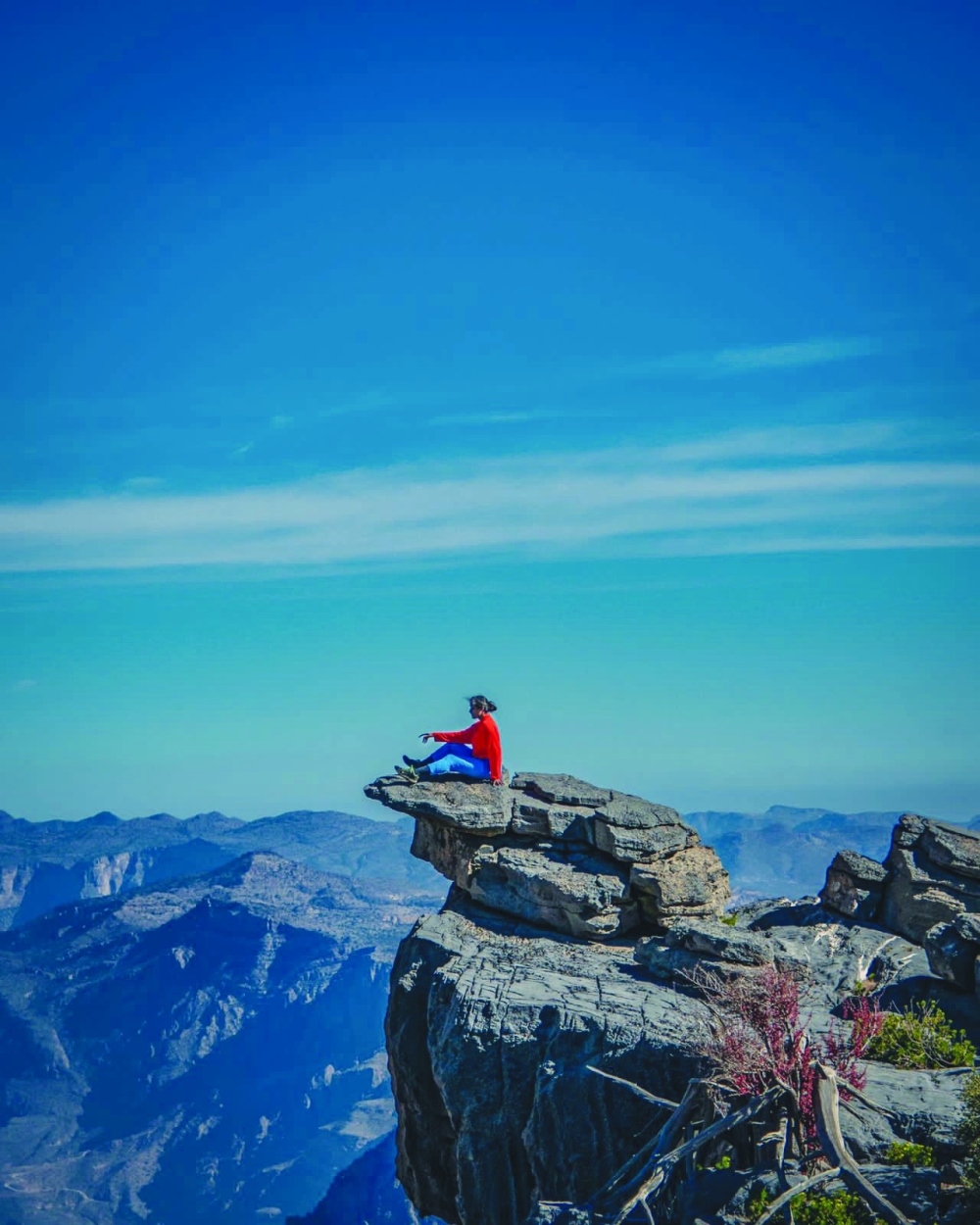
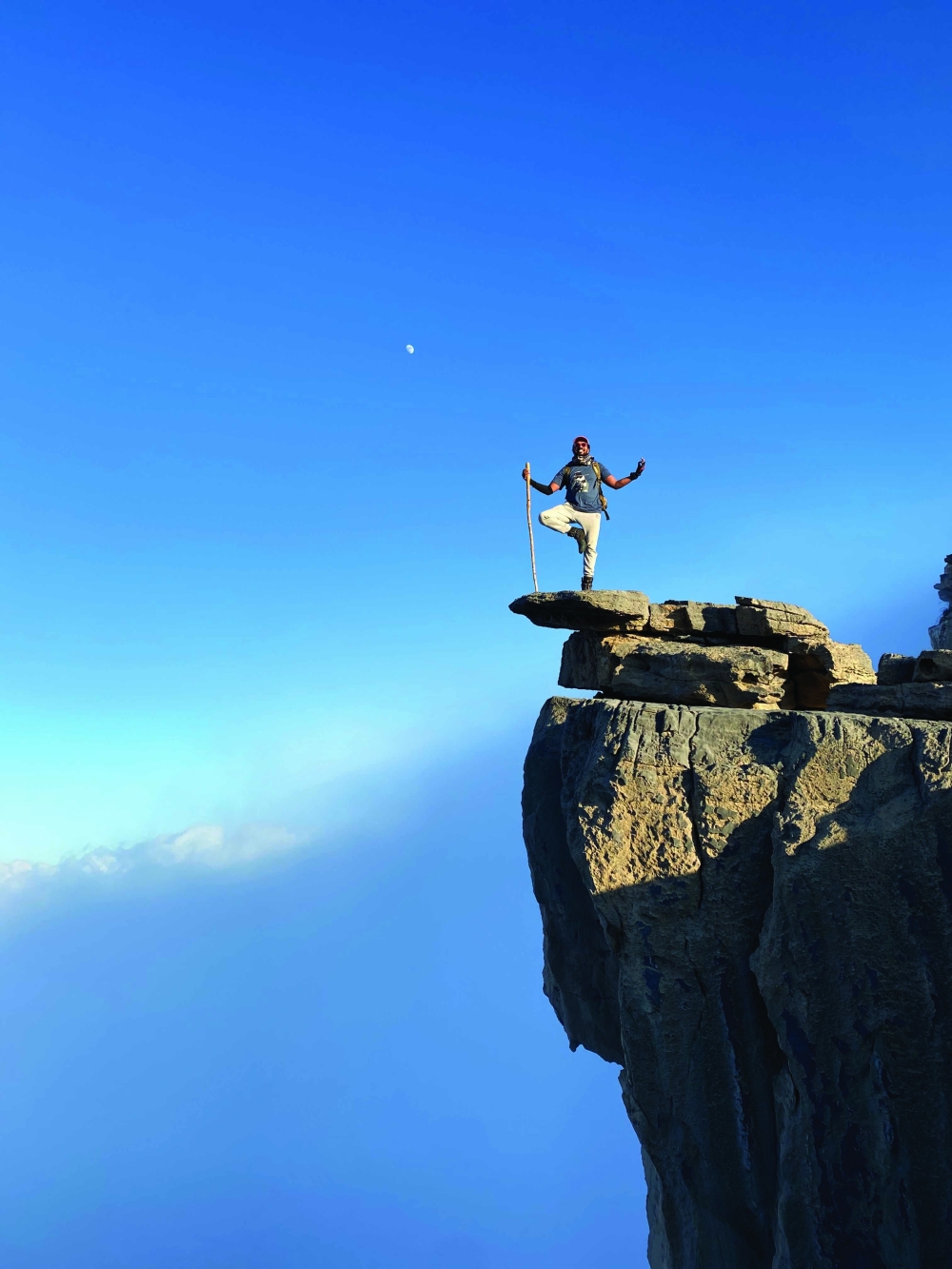
Can you give us a better idea about the trail?
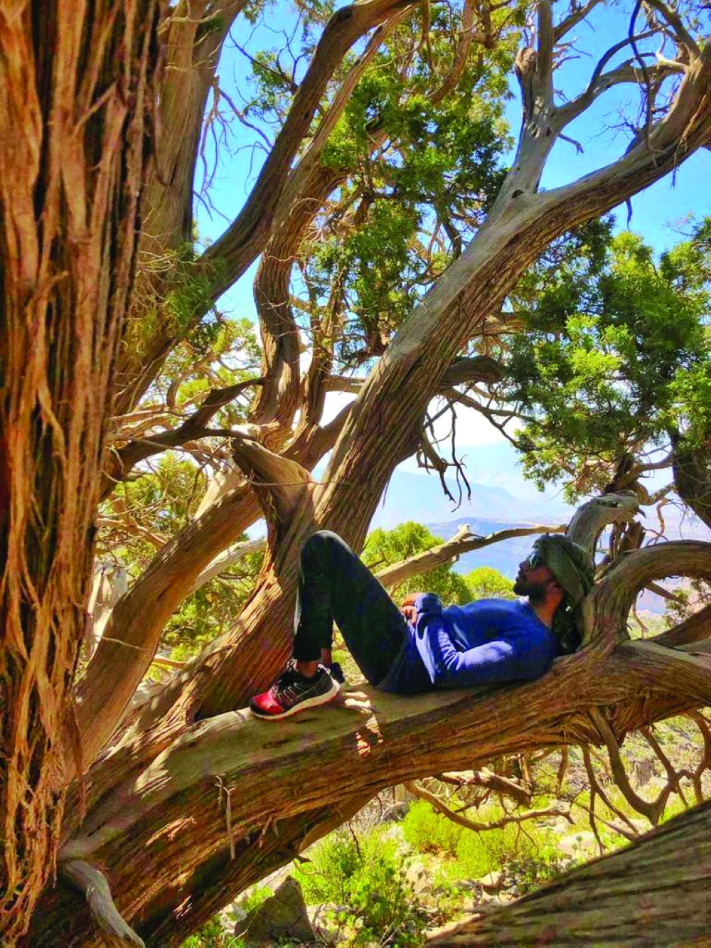
The trails in Jabal Shams are rocky. Some parts of it are natural and some parts were built by hiking enthusiasts. The carbonate units are covered with marine fossils. It is easy to spot them. The stones on the trail at many places have become slippery due to continuous stepping by the hikers. W4 is nicely marked along the path and you can always easily see the next sign all the way to the top. The surface is rough at some portions on the route so it’s wise to wear good pair of boots preferably something your feet are used to it but not new and tight."
What kind of temperature we can expect in winter and summer?
The temperature in Jabal Shams can drop drastically during winter. In my experience, in the early morning, it was at 7 degrees, about 15 degrees at noon, and dropped again by sunset. In the summer, the temperature can rise up to 40 degrees Celsius at noon. It's important to dress up appropriately. My advice, make sure that you check the temperature progression beforehand. It will give you an idea of what to expect and then you can dress up as needed.
Is there any village or any locality on the way to the summit?
Once you start walking from the base point in this trail up to the summit, there is no village or locality. You will not find anyone except any other fellow hiker like you at times. So your planning has to be very meticulous. You need to be very sure that you do not run out of water, food or any other essentials. Be mentally prepared to be on your own absolutely even in an emergency.
What is the ideal weather for this hike?
Due to the long-distance and Oman's harsh summer, winter is the preferred weather hence anytime between Dec-Feb is mostly suggested for this hike. However, rain is not preferred during the days of the hike so please check the weather forecast for selecting the right day to hike during the winter season.
How I can reach the starting point? Any location mark?
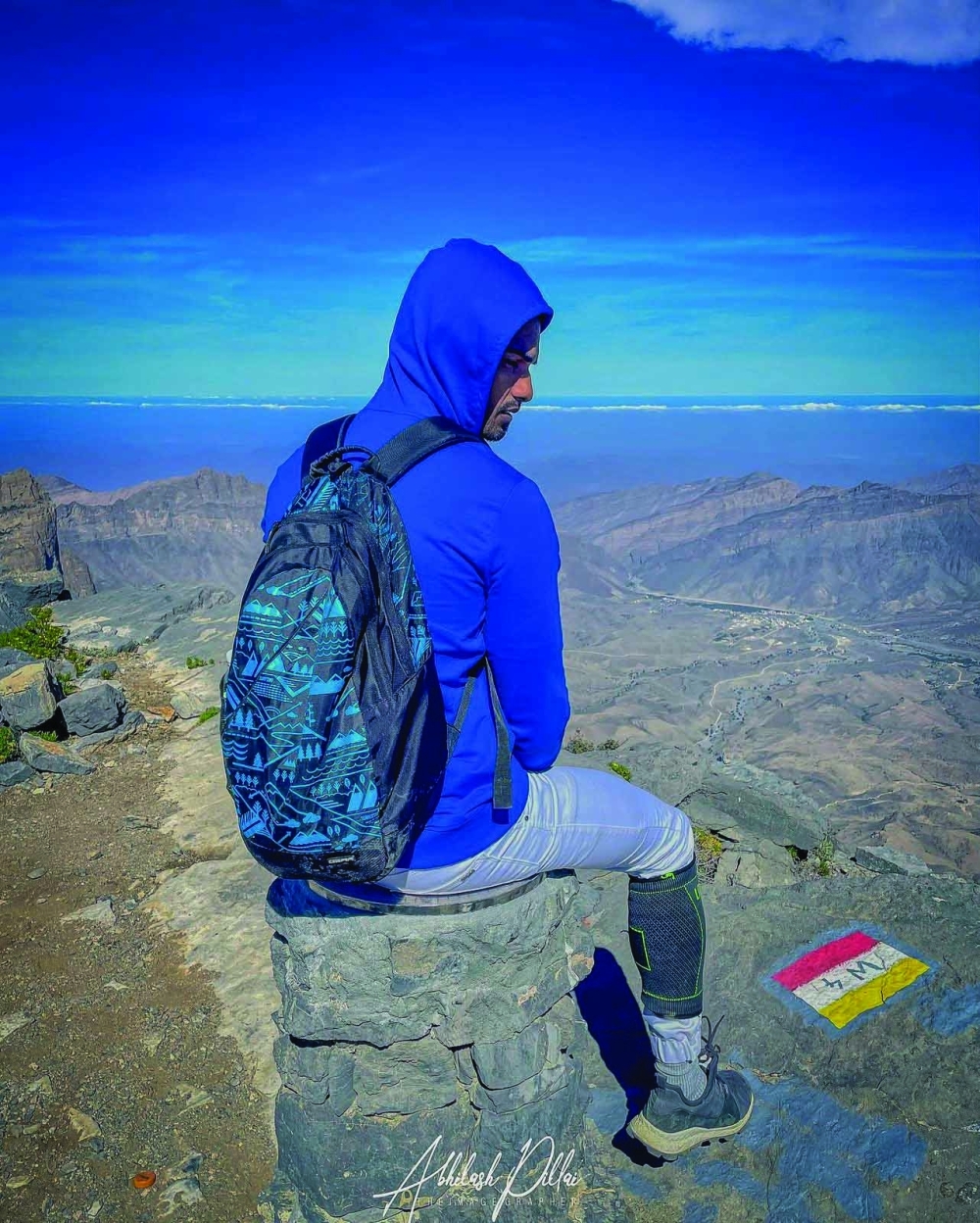
The summit trek trailhead starts just off the main road up to Jabal Shams, and you can reach it by taking the turn towards Sama Jabal Shams resort and then taking the immediate right turn from there. You can spot the signs indicating the W4 trail for the hike. The trailhead would be starting at that location.
In the entire hike, is there any area that needs assistance and is difficult to cross?
The entire trail W4 is well marked and if one follows the trail marks he/she can reach the summit point and come back to the base as well. Although assistance is not required for this hike it is not advisable to go solo. Going in a group of 3-4 can help encourage each other and take care of any emergency situation that arises. Besides a little bit of scrambling towards the end, you will not need any assistance. But you definitely need to have a decent level of fitness and endurance to complete this hike."
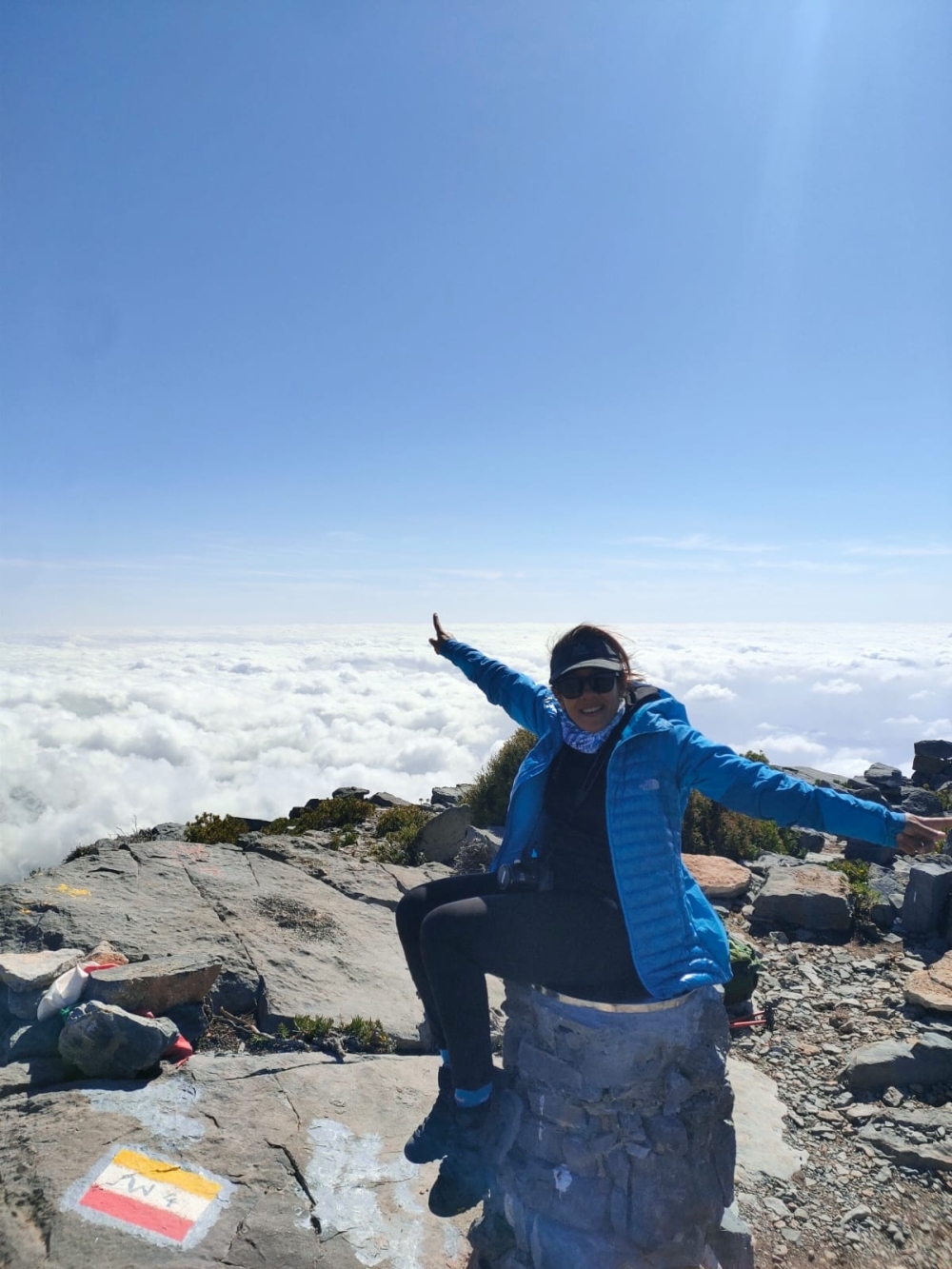
How do I know that I am on the right path?
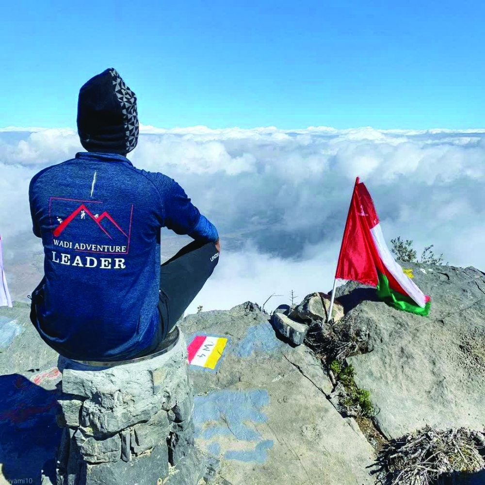
The summit is very difficult because the elevation keeps changing. It is not one straight line that you have to trek up and down, therefore hikers can get confused about in which direction to turn. The path is well marked with red, yellow and white flag marks. However, there are some points in which you are descending and it’s hard to know where the ascent begins again. I found that if I got confused I looked for the same markings especially if I reached a dead end. On the way down it can be tricky as well especially if it is getting dark. Thankfully there were highlighted markers that could be seen clearly in the dark but having a torch as well as staying with your group is essential to getting out.
Is there any phone network available?
A cellular network is extremely poor during the entire path. From my personal experience other than very few spots where you might get some Omantel network, you will be mostly cut off from the rest of the world during this entire hike. So please make sure you keep your family/friends informed about the same and your estimated time of return.
How I can reach the starting point? Any location mark?
The summit trek trailhead starts just off the main road up to Jabal Shams, and you can reach it by taking the turn towards Sama Jabal Shams resort and then taking the immediate right turn from there. You can spot the signs indicating the W4 trail for the hike. The trailhead would be starting at that location.
In the entire hike, is there any area that needs assistance and is difficult to cross?
The entire trail W4 is well marked and if one follows the trail marks he/she can reach the summit point and come back to the base as well. Although assistance is not required for this hike it is not advisable to go solo. Going in a group of 3-4 can help encourage each other and take care of any emergency situation that arises. Besides a little bit of scrambling towards the end, you will not need any assistance. But you definitely need to have a decent level of fitness and endurance to complete this hike."
How do I know that I am on the right path?
The summit is very difficult because the elevation keeps changing. It is not one straight line that you have to trek up and down, therefore hikers can get confused about in which direction to turn. The path is well marked with red, yellow and white flag marks. However, there are some points in which you are descending and it’s hard to know where the ascent begins again. I found that if I got confused I looked for the same markings especially if I reached a dead end. On the way down it can be tricky as well especially if it is getting dark. Thankfully there were highlighted markers that could be seen clearly in the dark but having a torch as well as staying with your group is essential to getting out.
Oman Observer is now on the WhatsApp channel. Click here