

LOS ANGELES: Last summer, as Will Harling captained a fire engine trying to control a wildfire that had burst out of northern California's Klamath National Forest, overrun a firebreak and raced towards his hometown, he got a frustrating email.
It was a statistical analysis from Oregon State University forestry researcher Chris Dunn, predicting that the spot where firefighters had built the firebreak, on top of a ridge a few miles out of town, had only a 10 per cent chance of stopping the blaze.
"They had spent so many resources building that useless break," said Harling, who directs the Mid Klamath Watershed Council, and works as a wildland firefighter for the local Karuk Tribe.
"The index showed it had no chance," he said.
The Suppression Difficulty Index (SDI) is one of a number of analytical tools Dunn and other firefighting technology experts are building to bring the latest in machine learning, big data and forecasting to the world of firefighting.
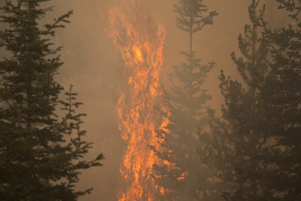
As climate change and gaps in forest management create more intense and deadly wildfire seasons, firefighting resources are increasingly stretched to the limit.
Researchers like Dunn hope their tools can help ease that pressure by making sure scarce fire resources are deployed as efficiently as possible.
Dunn said so far firefighters at half of national forests are using one popular analytical tool he helped develop called Potential Operational Delineations (PODs).
It combines local firefighter know-how with advanced spatial analytics to help teams plan where to take on a fire even before it breaks out.
The tool superimposes a number of statistical models - such as the SDI - over a map of a region so fire managers and communities can plan out their control lines and plans of attack in advance.
"You will never take the personal element out of fighting fires," said Brad Pietruszka, a fire manager at the 1.8-million-acre (728,000-hectare) San Juan National Forest who has been using advanced analytical tools like PODs since 2017.
"But people make bad decisions under stress - they can't crunch all this data on their own. This is about reducing the uncertainty, and helping firefighters make better decisions"
For decades, firefighters have relied on analytics to predict the possible behavior of fires, pulling on a range of data from weather patterns to satellite footage of potential fire fuels and historical fire behavior.
Now advances in computing and artificial intelligence (AI) mean they can increasingly lean on predictive technologies to supercharge their own insights.
"When I was first asked if we could use artificial intelligence to fight fires, I said, 'No way. There's too much uncertainty,'" recalled David Calkin, a longtime US Forest Service (USFS) researcher.
"But then I thought: 'What if we did plan a research agenda to head in that direction?'"
Combining machine learning with years of research, fire analysts like Calkin and Dunn build models that add layers of data on top of the institutional knowledge of local firefighting crews, explained Rick Stratton, a fire analyst at the USFS.
"Firefighters only see so much, their careers are short - but now we can model thousands of artificial seasons and pull all sorts of insights," said Stratton, who runs an online dashboard that lets fire managers see analytics of their terrain in real-time.
Armed with an alphabet soup of analytic tools - PCLs, SDI, PODs and others - firefighters are getting crucial help deciding where to direct their efforts during increasingly out-of-control fire seasons, Pietruszka said.
Dunn and the other experts stress that these models work best when coupled with human insights - and when people living in wildfire-prone areas understand the process.
One of the exercises they encourage communities to do before fire season is to map local priorities, said Dunn.
That includes deciding which locations must be defended from fire at all costs and which areas can be exposed to the blaze to help thin out the landscape to make sure future fires are less intense.
Chris Chambers, a fire chief in Ashland, Oregon, has seen how that plays out on the ground.
He has spent recent months mapping the grass and dry brush around the city, and putting that data into Dunn's models, which in turn have helped him identify areas for controlled burns, where to build defenses and where to deploy resources when fire ignites.
"In the past, I just would print out a map and write down all the places I wanted to try and remove fuel," he said.
Chambers plans to distribute detailed maps showing the different indexes to the temporary firefighting crews that arrive every wildfire season.
As this year's fire season flares in the western United States, Calkin, the USFS researcher, is charging ahead with his research agenda, hoping to produce insights on everything from where planes should drop fire retardant to how hotshot crews - elite firefighting units - spread out during a blaze.
Still, he is concerned about the long-term viability of these tactics.
"The Catch-22 is, when you model, all you have is historic data," he said. "And as climate change creates a novel future, it can become more and more difficult to model what you don't know." -- Thomson Reuters Foundation
Oman Observer is now on the WhatsApp channel. Click here