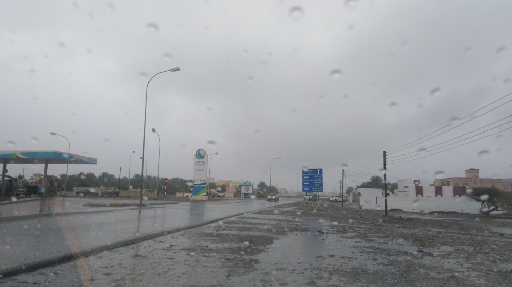


Weather conditions in the Sultanate of Oman are expected to be affected by a trough of a low-pressure system, leading to active thunderstorm formations over the Hajar Mountains and the adjacent areas, as well as parts of the coasts of Musandam Governorate, which may extend to the coastal areas of the Sea of Oman, starting from Sunday, October 25.
The weather system is expected to continue for several days, according to the Oman Met Office.
Low cloud formation and fog were observed late at night and early morning in parts of the Eastern and Central Governorates, Dhofar, and Al Buraimi.
The weather forecaster at Oman Meteorology said rain of varying intensity is expected to lead to the flow of wadis on Monday, Tuesday, and Wednesday.
Speaking to Observer, he said, "We are going through the transition period to winter, and the atmosphere is not homogeneous. We have local cloud development in Al Hajar mountains, and in the upper area it is the winter situation.
"Rain in Muscat is only a slight probability with a weak chance, as per the weather forecaster.
"The circumstances are not ideal, and the system has no vertical extension. The system is mainly in the areas of Al Hajar, North Al Batinah, South Al Batinah, and Musandam," he explained.
The weather system may lead to a decrease in horizontal visibility.
Oman Observer is now on the WhatsApp channel. Click here