

The Sultanate of Oman will be affected by a cold air mass starting Tuesday, December 30, 2025, according to the National Multi-Hazard Early Warning Center
Temperatures will begin to drop noticeably across most of the governorates of the Sultanate of Oman, accompanied by increased wind activity.
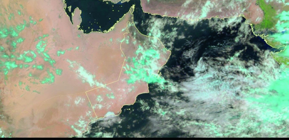
The flow of clouds on Tuesday morning over the northern governorates brought in scattered light rainfall, including Muscat.
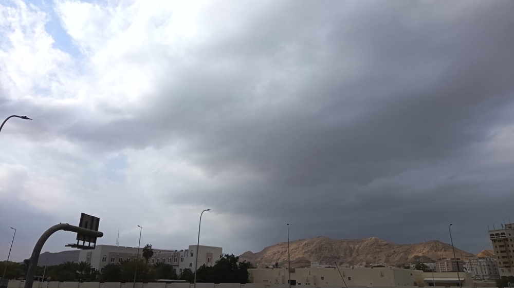
Seeb received early morning rain, and by 9.30 am, Ruwi also received rain, a place that has been experiencing a dry spell.
According to Oman Met Office, there are chances of isolated rain and occasional thunder showers over Musandam, North al Batinah, South al Batinah, Al-Buraimi, Al Dahirah, and Muscat governorates and parts of the Arabian Sea coasts. |
Chances of late-night/early morning low clouds over parts of Dhofar, Al-Wusta, South Al-Sharqiyah, Al-Dhahirah, and Al-Burimi governorates, and parts of the Al-Hajar Mountains.
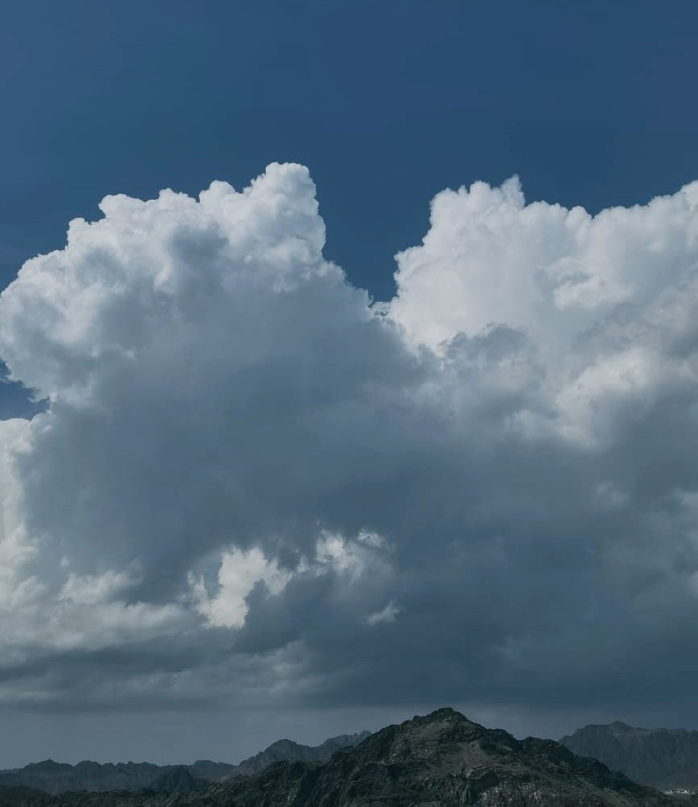
Deep cumulus cells, with more intense and widespread weather phenomena, might be accompanied by hail and lightning, according to the National Multi-Hazard Early Warning Center.
Northwesterly wind activity is expected to begin tomorrow morning and continue until Thursday, affecting most of the governorates of the Sultanate of Oman. This could cause high sea waves along the coasts of the Sultanate of Oman, reaching a maximum height of 3 meters.
Clouds have been flowing over parts of the Arabian Sea coasts. Formation of fog and low clouds was experienced over parts of the North Sharqiya, Al Dakhiliyah, Al Dahirah, Al Wusta, and Dhofar governorates.
Oman Observer is now on the WhatsApp channel. Click here