


Muscat: Coastal parts of Musandam and North al Batinah Governorates are expected to experience rainfall of varying intensity over the next few days, according to weather forecasts.
The Oman Meteorology Office said an air trough of low pressure is likely to affect the northern governorates, with its impact concentrated primarily over Musandam Governorate.
In a statement issued on Saturday, the Met Office said that Sunday and Monday, December 14 and 15, will witness continued cloud formation over Musandam Governorate, accompanied by scattered rainfall that may at times be thundery, with amounts ranging between 10 and 25 mm.
Al Buraimi as well as North and South al Batinah governorates are also expected to be affected by scattered rainfall ranging between 5 and 15 mm, with the possibility of wadis flowing, in addition to the continuation of active north-westerly winds at speeds of 10–30 knots.
The Office added that the period from Tuesday to Thursday, December 16–18, will see continued flow of convective clouds and scattered rainfall, occasionally thundery, over Musandam, al Buraimi, and North and South al Batinah governorates, with the ongoing possibility of wadi to overflow.
It further forecast that the effects of the low-pressure system will extend on Friday and Saturday, December 19–20, to include most of the Sultanate’s northern governorates, bringing scattered rainfall that may at times be thundery, along with continued activity of north-westerly winds.
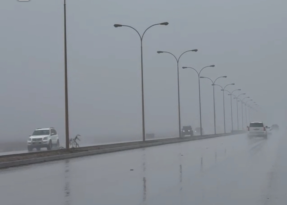
Meanwhile, parts of Musandam have already witnessed heavy rainfall, leading to the overflow of several wadis. Relevant authorities have urged the public to exercise caution, particularly when travelling near wadis and low-lying areas, and to adhere to official advisories issued during the prevailing weather conditions.
Residents and motorists have been advised to stay updated through official weather channels and avoid unnecessary risks until conditions stabilise.
Oman Observer is now on the WhatsApp channel. Click here