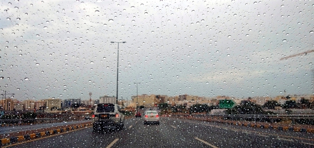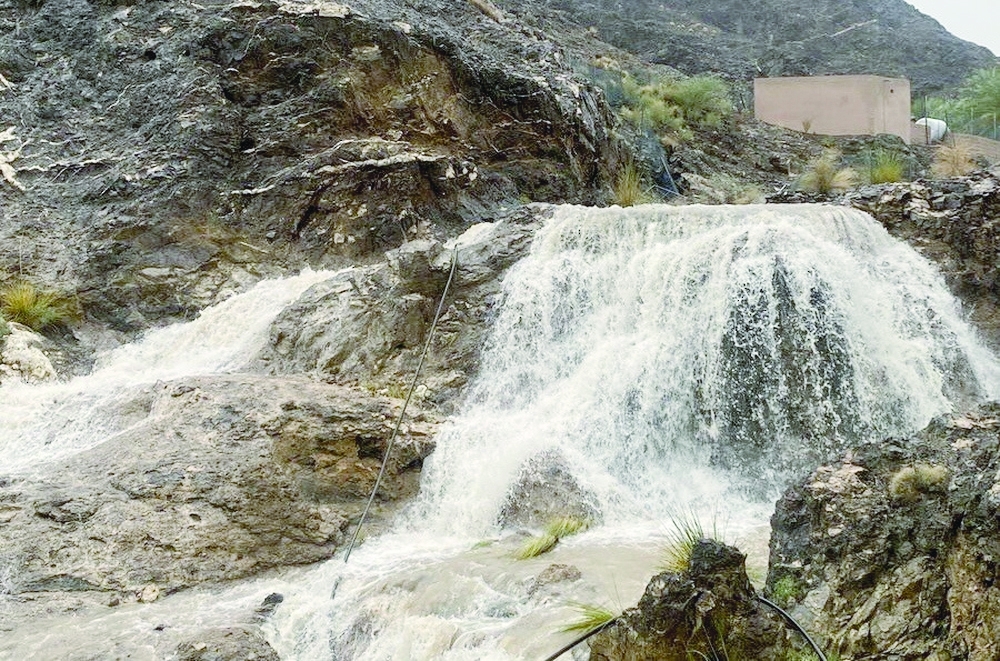


Muscat: The beginning of the flow of Wadi al Daina, north of the Wilayat of Mahadha, was observed with great enthusiasm followed by Wadi Bani Awf in the Wilayat of Al Rustaq. Thunderstorm activity was reported in parts of Al Buraimi Governorate, with scattered showers, Wadi Bani Kharous in the Wilayat of Al Awabi.
Rain of varying intensity and hail were recorded in parts of the Wilayat of Ibri and north of Yanqul. The Met Office said mainly clear skies are expected in the next few days over most of the governorates with chances for cloud convection and isolated rain occasionally thunder showers associated with fresh winds over Al Hajar mountains toward the afternoon.
There are also chances of low clouds/ fog patches at late night and early morning over the governorates of Al Sharqiyah South, Al Wusta and Dhofar.
On the other hand, there are chances of dust rising over desert and open areas, in addition to low clouds/ fog patches at late night and early morning over parts of Al Sharqiyah South, Al Wusta and Dhofar governorates.
Many areas were also affected by active downdrafts during cumulonimbus activity.
The coolest place in Oman was Jabal Shams recording a high of 25 degrees Celsius and a low of 17 degrees Celsius. The Highest temperature recorded was in Fahud, Al Buraimi and Samayil recording a high of 42 degrees Celsius and a low ranging around 27 degrees Celsius.
Along the Arabian Sea coasts, winds are expected to be southerly/southwesterly light to moderate occasionally fresh and along the Sea of Oman coasts winds will be northeasterly light to moderate at day time becoming variable light at night. In the rest of the governorates, it is expected to be southerly/southeasterly light to moderate occasionally fresh.
Sea conditions are expected to be light to moderate along the Arabian Sea coasts with maximum wave height of 1.5 metres and slight over the rest of the coasts with a maximum wave height of 1.25 metres.
Oman Observer is now on the WhatsApp channel. Click here