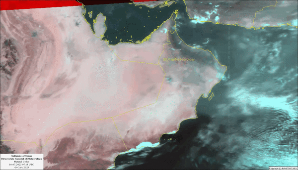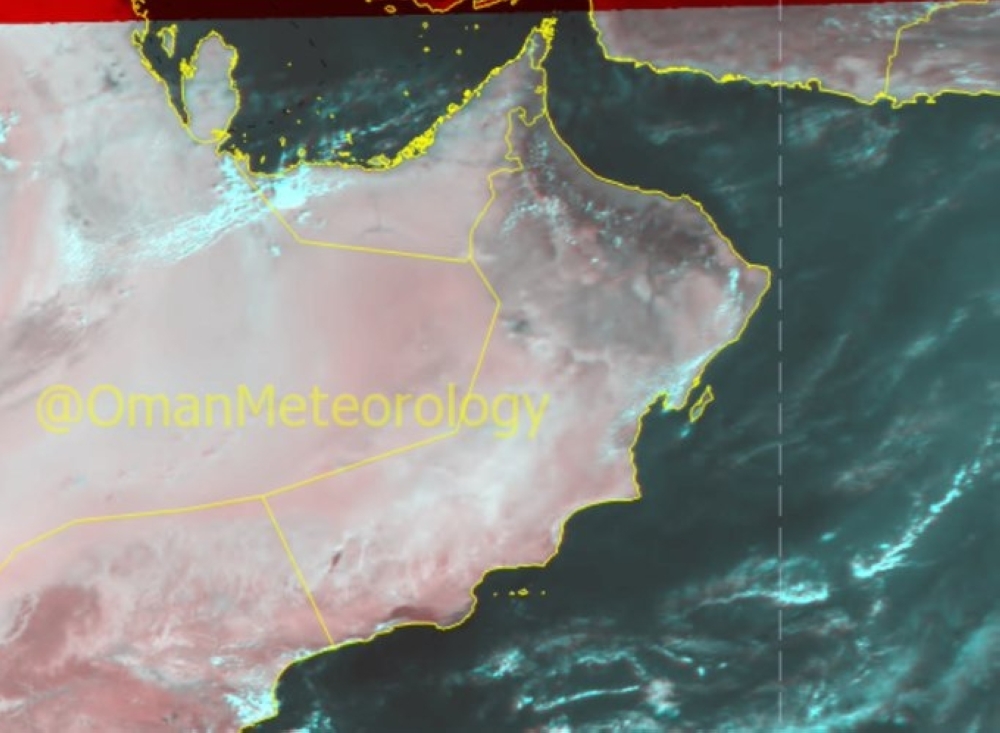


Muscat: The latest weather updates and analysis of the National Multi Hazard Early Warning Center indicate that an upper air trough will affect the Sultanate of Oman from Friday, November 24 till Sunday November 26.
There are chances of thunderstorms of varying intensity associated with active downdraft winds and hail are expected over Musandam governorate on Friday evening, gradually extending on Saturday to include the governorates of North At Batinah, South Al Batinah, Al Dakhiliyah, Muscat, North al Sharqiyah, and South al Sharqiyah.
Oman Observer is now on the WhatsApp channels. Click here
The heaviest rainfall is expected over Oman Sea coasts and Al Hajar Mountains and adjoining areas.
Details of daily weather condition:
1. Clouds advection and formation with thunderstorms of varying intensity (10-40 mm) associated with hail, which may cause wadies flow.
2. Active downdraft winds with speed ranging between (15 to 30 kt) (28-56km/h).
3. Chances of rise in wave height to moderate (2 meters) along Musandam west coasts and Oman Sea coasts during the effect of thunderstorms.
Civil Aviation Authority has advised all to take precaution during rainfall and wadies flow and to check visibility and sea state before sailing and follow the issued weather bulletins & reports.
Oman Observer is now on the WhatsApp channel. Click here