

Salalah: Hasik in the Wilayat of Sadah in Dhofar on Sunday began to see the flow of stratiform clouds heralding rain.
Latest Updates about the Tropical System in Arabian Sea Tropical cyclone classified as category 3 named Tej is located south west of Arabian Sea, now situated at approximately 12.6 degrees North latitude and 54.6 degrees East longitude. Being about 450 kilometers away from the coasts of Oman, the weather expert at the National Multi Hazards & Early Warning Center said the cyclone could go up to category 4 and then come down in its intensity.
“Maybe while approaching land it could be a category one cyclone. The result could be heavy rains, with downdraft wind and flash floods,” he said.
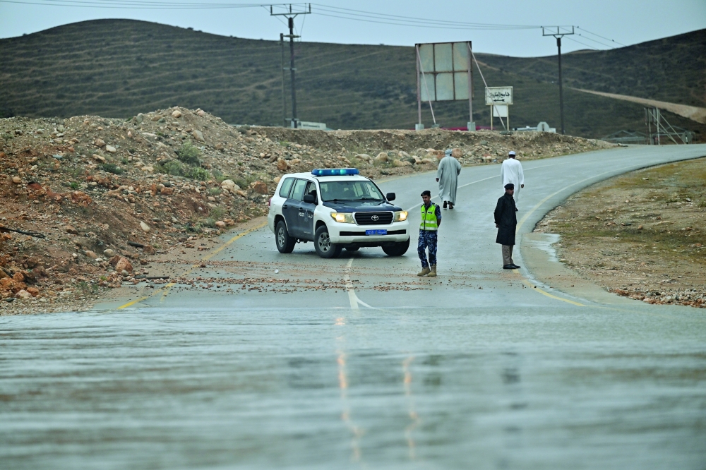
Meanwhile, The Civil Defense and Ambulance Authority has called for the necessity of securing chemicals, radioactive materials, petroleum, and hazardous waste in the facilities and factories of the governorates expected to be affected by Tej in locations safe from submersion due to rising sea levels, heavy rains, and valleys.
As of now, the wind speed around the center has been ranging from 96-112 knots, and the nearest rain cloud mass is located about 200 kilometers away in the willayat of Sadah.
According to the weather forecaster, even if there is a chance for the system to move further south, the impact on coasts of Oman would be with heavy rains.
The Tropical System continues on its path west to northwest towards the coasts of Dhofar Governorate and Yemen's Al-Mahra Governorate.
It is expected to further intensify into a Category 4 tropical cyclone within the next 24 hours. The direct impact is expected to begin on Dhofar and Al- Wusta tonight October 22nd.
The peak is expected to be on Monday 23rd of October and Tuesday 24th of October when heavy rainfall is expected between 200-500mm cause flash floods along with strong winds with speed of 20 -40 kt and in forecast is rough sea along the coastal areas of Arabian Sea with wave heights of 6-12 m with chance of storm surge and sea water inundation over low level coastal areas.
Oman Observer is now on the WhatsApp channel. Click here