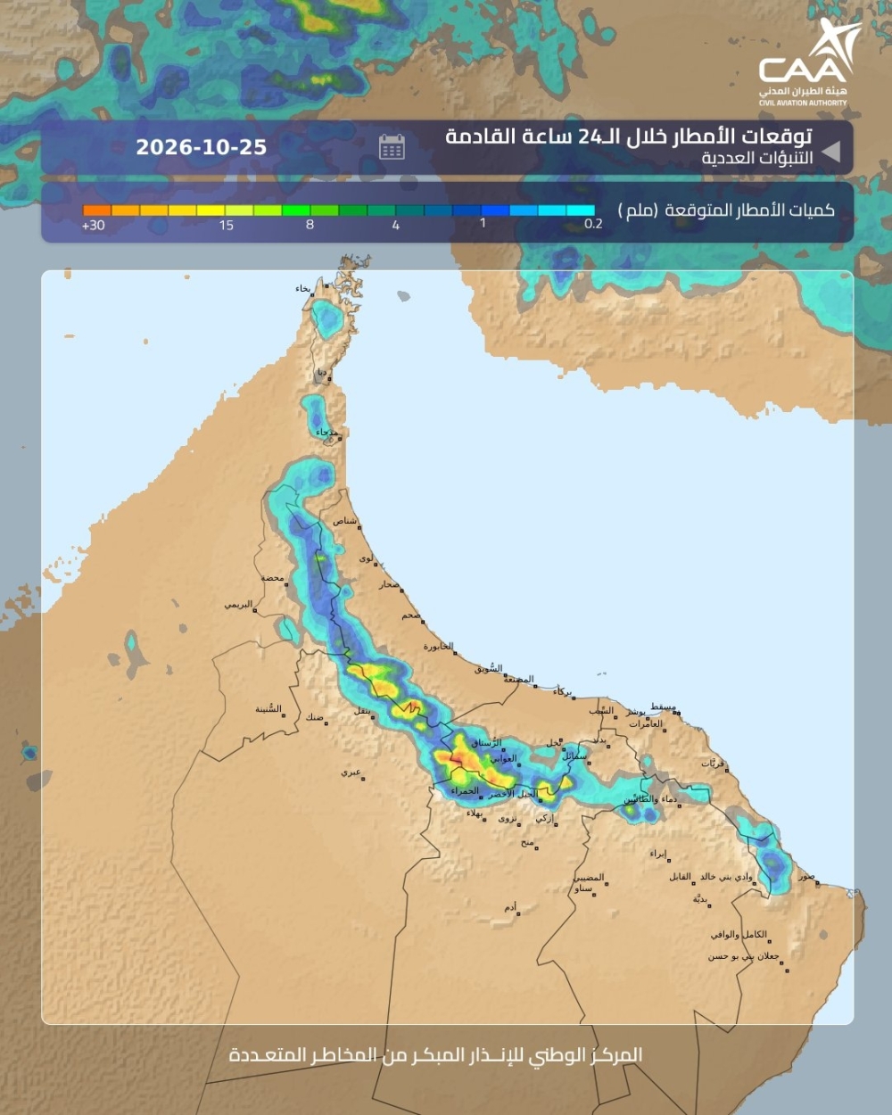


Muscat: After two days of moderate to heavy rainfall across several parts of Oman, more thunderstorms, strong winds and possible hailstorms are forecast for Wednesday and Thursday, October 28 and 29, as local cloud formations continue to develop over the country.
The Civil Aviation Authority (CAA) said convective cloud activity is expected to continue over the two days, mainly over the Al Hajar Mountains, with chances of extending to coastal areas of South Al Batinah, North Al Batinah, South Al Sharqiyah and Musandam governorates.
According to the National Multi-Hazard Early Warning Centre, the ongoing weather activity is linked to the influence of a low-pressure trough, which is expected to continue affecting Oman until the end of October.
The latest forecast maps indicate rainfall activity across several northern governorates, including parts of Muscat, Al Dakhiliyah and North Al Sharqiyah, with varying intensities.
The CAA has also issued yellow-level alerts for moderate rainfall and downdraft winds in coastal areas and adjacent parts of Al Batinah. The rainfall alert takes effect at 12 noon on Wednesday, while the wind alert begins at 1 pm.
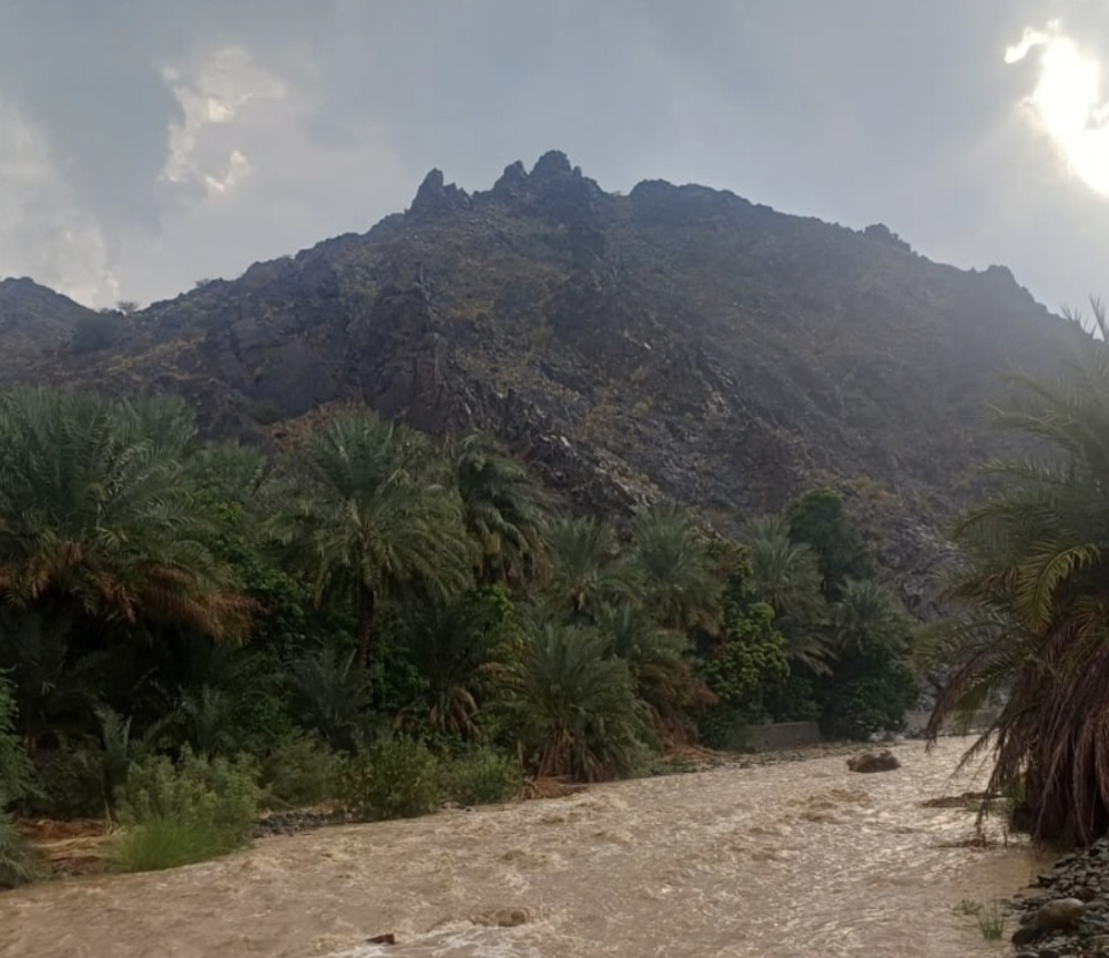
Some areas could experience heavy downpours accompanied by strong winds and hail, increasing the risk of sudden runoff in wadis and low-lying areas.
Authorities have urged residents and motorists to exercise caution, avoid crossing flooded wadis and follow official weather updates.
Oman Observer is now on the WhatsApp channel. Click here