




SALALAH, AUGUST 31
Agricultural expansion in Dhofar’s Najd region could in future be governed by an annual water budget, with farm and investment licences tied to measured water allocations under a proposed framework aimed at keeping development within the capacity of the groundwater system.
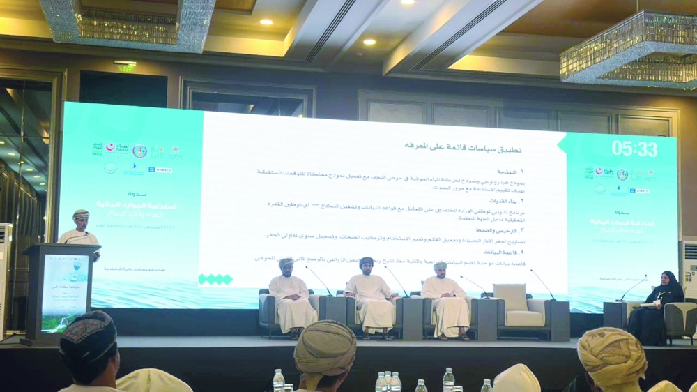
The roadmap, presented by Dr Khalid bin Salem Al Mashaikhi, Assistant Director-General for Dams Affairs at the Ministry of Agriculture, Fisheries and Water Resources, would place a “water ceiling before the agricultural ceiling” by making water availability a core condition for future agricultural licensing.
The proposal comes as groundwater abstraction from the Umm er Radhuma system exceeds recharge, according to the presentation, reflecting mounting pressure from agricultural expansion linked to food-security goals.
Under the proposed approach, the Najd basin would have an annual water budget derived from hydrogeological modelling and updated periodically. Agricultural and investment permits would be conditional on quantified water shares measured through meters and connected to a unified agricultural and water database.
The approach marks a shift from viewing land availability as the main limit on agricultural growth towards using the basin’s water capacity to determine how much development can be sustained over time.
Najd, north of the Dhofar mountain range, covers the administrative areas of Al Mazyouna, Thamrait, Shaleem and the Hallaniyat Islands, and Muqshin. It is one of Oman’s promising agricultural zones for vegetables, wheat and fodder, but depends primarily on groundwater.
The basin is hosted mainly in the Dammam, Rus and Umm er Radhuma geological formations and is divided hydrogeologically into four aquifer layers. Isotope data cited in the presentation indicate that groundwater ranges from relatively recent supplies to water more than 60,000 years old, highlighting the long replenishment times associated with parts of the resource.
A network of 181 monitoring stations tracks groundwater levels, rainfall and wadi flows across the basin. The ministry is also using hydrological and groundwater-flow models, together with simulation tools, to assess long-term sustainability and forecast how the aquifer may respond to future abstraction and recharge.
The presentation said tropical cyclones can produce significant episodic recharge and raise groundwater levels by several metres, while the Dhofar Khareef contributes only a relatively small share to the Najd basin.
Three gaps were identified as central to the next phase of management: controlling water use according to the actual requirements of crops; aligning crop types and production volumes with market demand and food-security targets; and matching projects that run for decades with the groundwater system’s long natural renewal cycle.
The roadmap also calls for wider use of treated water to replace part of groundwater withdrawals, including dedicated treatment units within agricultural zones. It proposes recharge dams on the southern catchments of major wadis flowing towards Najd to strengthen replenishment of the aquifers.
Governance is being supported through the Najd Agricultural Area Development Office, which reports directly to the minister and is tasked with coordinating agricultural and water management, preparing an integrated investment map, building a unified database and involving agricultural associations in crop-planning policies.
The policy challenge is therefore moving beyond how much land Najd can bring into production. The more critical question is how much agriculture its groundwater system can support without undermining the resource on which the region’s long-term food-production ambitions depend.
Oman Observer is now on the WhatsApp channel. Click here