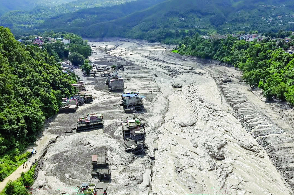





NEW DELHI: A deadly flash flood near Nepal's border with Tibet on Wednesday may have been triggered when the lower part of a glacier broke off and crashed on to the valley floor hundreds of metres below, experts said citing satellite imagery from Planet Labs.
It was not clear what caused the glacier to collapse, but Nepali officials have pointed to an earthquake in the region minutes earlier as a possibility.
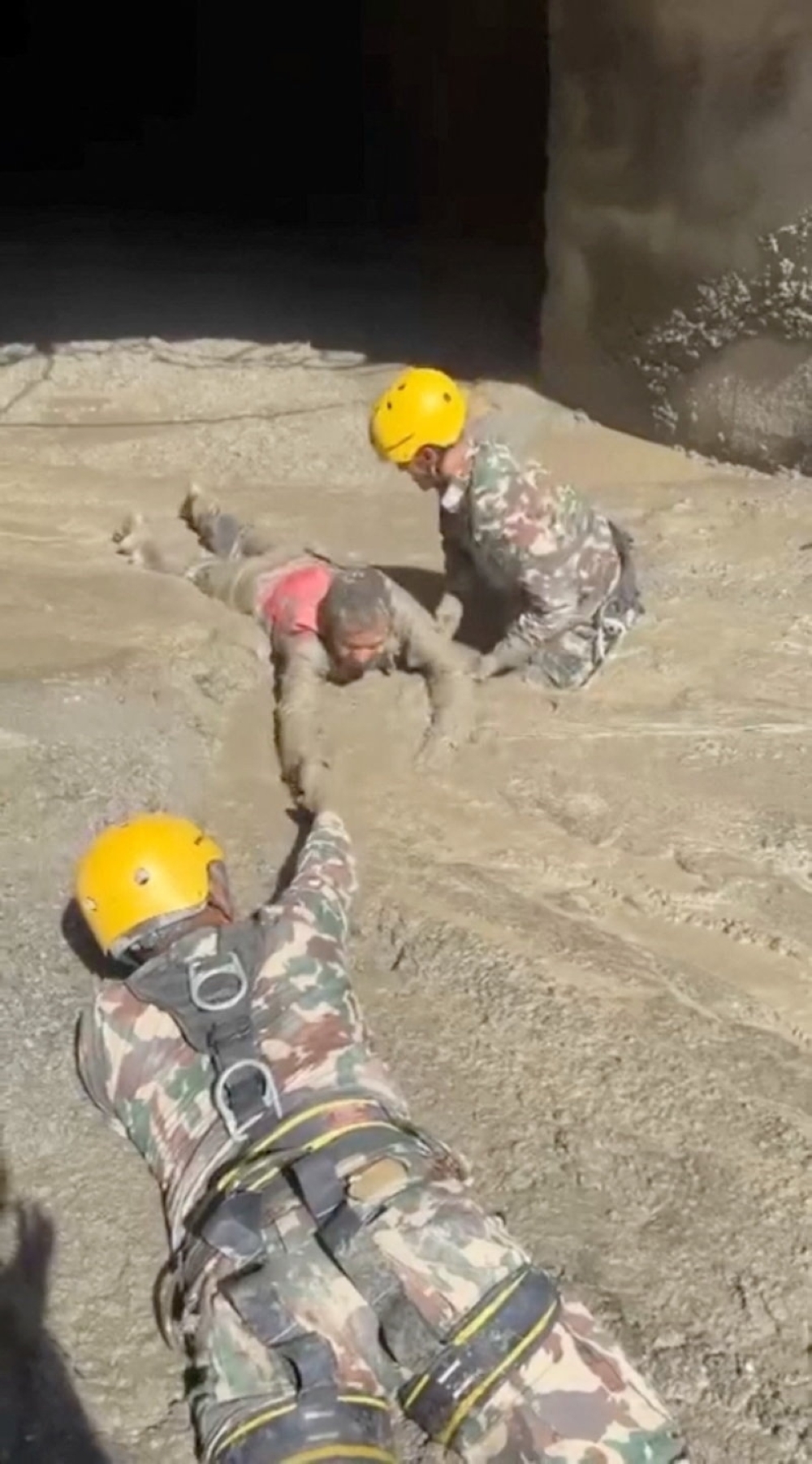
Authorities on both sides fear the total number of casualties will be far higher than the nearly 100 bodies so far recovered. More than 300 travellers were missing, Nepal's government has said.
Before-and-after satellite imagery of the region from Planet Labs, reviewed by Reuters, showed lush green mountainside now buried under brown debris and sediment.
"It’s confirmed that a substantial portion of that glacier snout collapsed to initiate the event - probably including or entraining a fair amount of rock and sediment," said Vikram Gupta, who specialises in engineering geology and teaches at India's Sikkim University.
Earth scientist Dan Shugar, an associate professor at the University of Calgary, said the imagery seemed to show that a large amount of snow had melted in the 24 hours prior to the disaster.
"Some of the glaciers in the valley were covered in snow yesterday and today they are mostly bare ice. So in other words (and I haven't seen any weather station data yet), it was probably warm," he said.
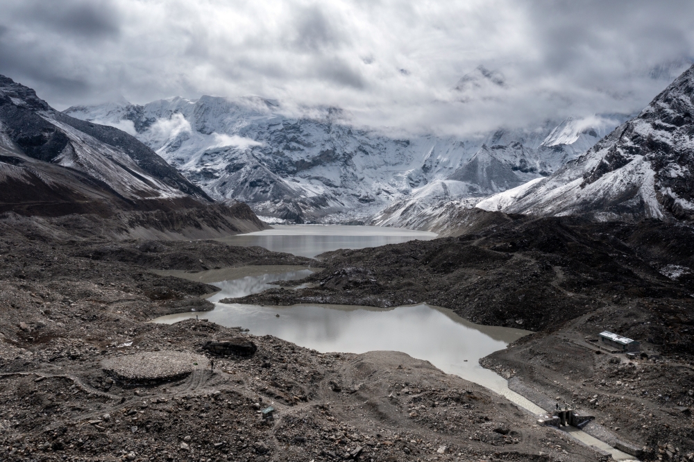
Nepal's snow-capped mountains had lost close to one-third of their ice in just over 30 years due to global warming, the United Nations said in 2023. The agency added that year that glaciers in Nepal, wedged between two major carbon emitters - India and China, melted 65% faster in the last decade than in the previous one.
"What I can see in this morning's satellite imagery from Planet Labs, the lower part of a glacier broke off at about 5,200 metres and crashed onto the valley floor about 1,200 metres below," Shugar said.
He said construction could be a factor too and "whether climate change played a role is something we will no doubt be looking into in the near future".
Several hydropower projects are located in the worst-affected areas in the mountainous district of Rasuwa, which has a population of about 50,000.
Nepal's National Disaster Risk Reduction and Management Authority said the "glacier-inclusive flood" occurred in the Lhende River due to a landslide that took place around 20 kilometres (12 miles) northeast of a Nepal-China border crossing.
Initial reports have also suggested that an earthquake in the area could have triggered an avalanche and caused the floods, but Prakash Pokharel, a geologist at the authority, said it was still not clear if that triggered the tragedy.
"The flash floods were caused by an ice-rock avalanche on the Nepali side," said Pokharel, who has reviewed the Planet Labs images.
Floods, landslides, avalanches and droughts are increasing in frequency and ferocity across the Hindu Kush Himalayas, and accelerating changes to water, land and air across the region pose a major threat to people, the International Centre for Integrated Mountain Development says.
The group said on Wednesday the flash flood sent a powerful surge of water, sediment and boulders through the Bhote Koshi and Trishuli river systems, adding that water levels on the river at the Galchhi area downstream reportedly rose by as much as nine metres (30 feet) within 30 minutes. — Reuters
Oman Observer is now on the WhatsApp channel. Click here