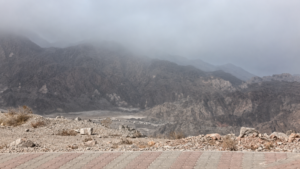





MUSCAT: Clouds descended over the Wadi Kabir mountains on Sunday evening as an active weather system over the Central and Eastern Hajar Mountains drifted towards coastal Oman.
Weather radar images showed intense rainfall and active thunderstorm cells developing over the Al Hajar Mountains, where towering cumulonimbus clouds were accompanied by strong downdraft winds.
As the system moved eastwards during the late afternoon, cloud cover spread towards the coast, creating striking scenes over Al Wadi Kabir and surrounding areas.
Speaking to the Observer, a forecaster at the Oman Met Office confirmed that the cloud mass had shifted from the Al Hajar Mountains towards the coastal region, resulting in the unusual atmospheric conditions witnessed over Al Wadi Kabir.
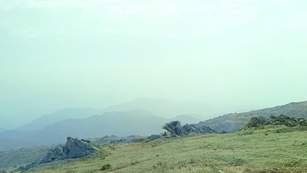
The forecaster said Muscat was unlikely to receive significant rainfall despite the advancing cloud cover.
"Even if it rains in Muscat, it would be light. The downdraft associated with the storm system is generating the fresh winds," the forecaster explained.
While Muscat experienced mainly gusty winds and reduced visibility due to haze, interior governorates recorded much heavier weather.
"Some parts of Al Dakhiliyah Governorate received heavy rainfall, and we have also reported heavy rain over the mountain areas," the forecaster added.
Meteorological observations also indicated cumulonimbus cloud development over parts of the Dhofar Governorate desert and Al Wusta Governorate, with chances of scattered rainfall continuing over these areas. Intermittent drizzle is also expected to persist along parts of the southern coastal strip.
The weather system reflects the ongoing convective activity affecting several parts of Oman, with mountain regions remaining the focus of the heaviest rainfall and thunderstorm development.
Oman Observer is now on the WhatsApp channel. Click here