

Muscat: The Civil Aviation Authority (CAA) on Monday has issued a weather alert, warning of thunderstorm activity across several mountainous regions in Oman.
Thunderstorm clouds are expected to develop from 11:00 AM until 7:00 PM, bringing varying intensities of rainfall ranging from 10 to 30 mm.
The affected areas include the mountainous regions of North and South Al Sharqiyah, Al Dakhiliyah, North and South Al Batinah, Al Dhahirah, and Muscat. The thunderstorms are forecast to be accompanied by hazardous weather conditions, prompting authorities to urge motorists to exercise extreme caution.
Among the most concerning phenomena are strong downdraft winds with speeds ranging between 20 and 45 knots. There is also a heightened possibility of flash floods, especially in wadies, poor horizontal visibility due to heavy rain or dust, and the potential for hail in localized areas.
Elsewhere across the Sultanate, the general weather forecast indicates clear to partly cloudy skies over the Dhofar governorate with a chance of isolated rain. For the rest of the country, skies are expected to remain mostly clear, although cloud development is likely over the Al Hajar Mountains, where isolated thunderstorms may also occur.
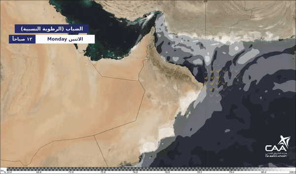
Additionally, there is a chance of low clouds and fog patches forming late at night and early in the morning over parts of Dhofar, South Al Sharqiyah, Al Wusta governorates, and coastal areas along the Oman Sea. Desert and open areas may also experience rising dust, which could reduce visibility further.
Meanwhile, soaring temperatures have been recorded across various parts of the country, with Sur and Samail registering the highest temperature at a scorching 46.9°C in the past 24 hours, underscoring the intense heat gripping the region.
Authorities continue to monitor the situation closely and advise the public to stay informed through official channels.
Oman Observer is now on the WhatsApp channel. Click here