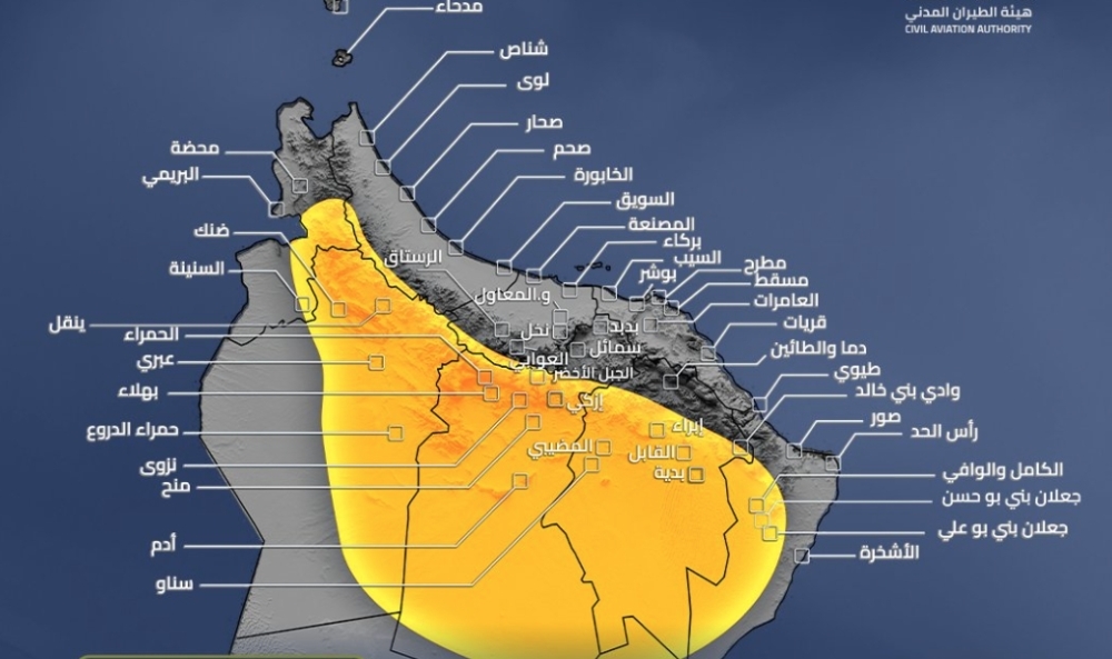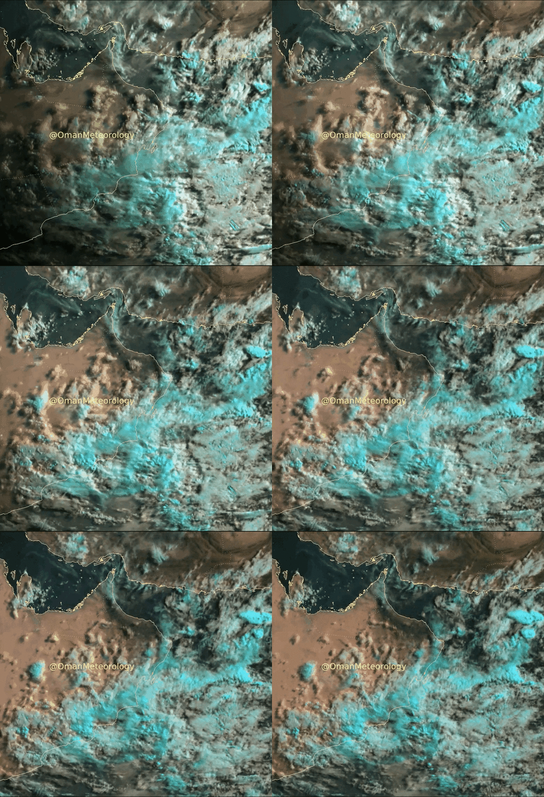





Muscat: In their weather alert on Wednesday, Oman Met Office stated that there are chances of cumulonimbus cloud activity over the Hajar Mountains and adjacent areas extending to the deserts later today (Wednesday), with chances of thunderstorms at times accompanied by active downward wind, hail, and flow of wadis during the afternoon and evening.
The impact is forecast to begin from 1 pm on Wednesday and is expected to last until 8pm. The listed places that could come under the influence are North Sharqiyah, Al Dhahira and Al Dhakhiliya. Alert is also on flash floods and low visibility.
Clear to partly cloudy skies with medium and high clouds advection are being experienced over most of the governorates and the Oman Met Office said there are chances of isolated rain over South Al Sharqiya, Al Wusta and Dhofar. Chances of convective clouds and isolated rain over Al Hajar Mountains toward afternoon.
Advection clouds are being experienced along the coast of Dhofar governorate and adjoining mountains with chance of isolated rain and intermittent drizzle.
There are also chances of low-level clouds or fog patches along parts of the the coastal areas of Oman Sea and Arabian Sea.
The Arabian Sea is reported to be rough and coasts are expected to face high sea waves ranging between 2 to 4 meters, while at Oman Sea, the waves are expected to be slight to moderate.
There is also a chance of dust rising over desert and open areas.
Oman Observer is now on the WhatsApp channel. Click here