

Muscat: The latest weather updates and analysis of the National Multi-Hazard Early Warning Center indicated an upper air trough will affect the Sultanate of Oman on the evening of November 16 (Thursday).
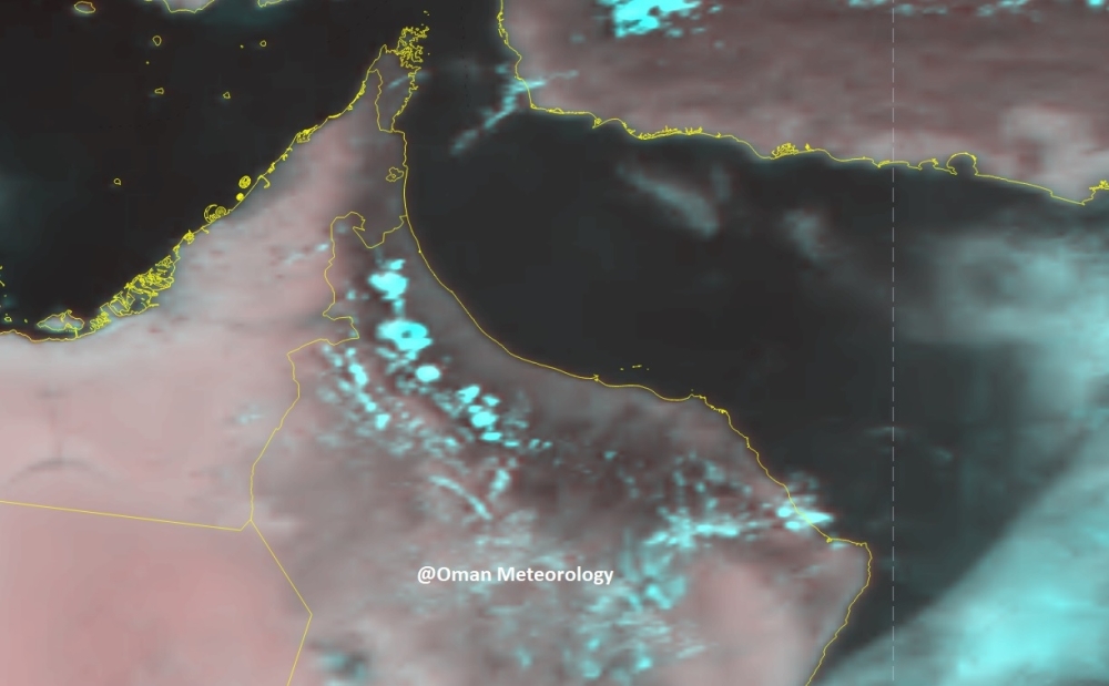
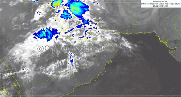
The latest weather updates and analysis of the National Multi Hazard Early Warning Center indicate that an upper air trough will affect the Sultanate of Oman from today until the morning of Sunday 19" of November 2023.
Advection and development of clouds is expected with chances of thunderstorms of varying intensity associated with fresh downdraft winds and hail over Musandam, Al Buraimi, and North Al Batinah governorates and gradually extending toward South Al Batinah, Al Dhahira, Al Dakhylia, Muscat, North Al Shargiya and South Al Sharqiya.
The peak of the impact will be on Friday over Musandam, A] Buraimi, North and South Al Batinah governorates and Al Hajar Mountains. Additionally, chance for cloud advection and isolated rain over the coastal areas of Danaher and Al Wusta governorates.
Details of daily weather condition:
1. Clouds advection and formation with thunderstorms of varying intensity (20 — 80 mm) associated with hail, which may cause wadies flow.
2. Active downdraft winds with speed ranging between (15 to 30 kt) (28-56km/h).
3. Chances of rise in wave height to moderate (2 meters) along Musandam west coasts and Oman Sea coasts during the effect of thunderstorms.
Oman Observer is now on the WhatsApp channel. Click here