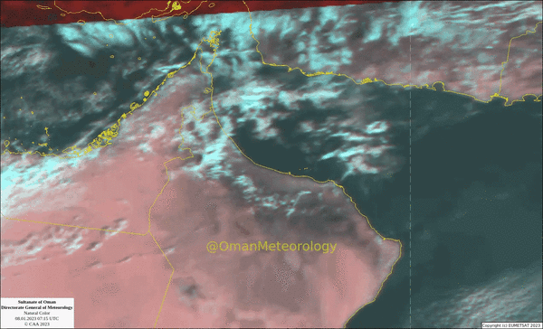


Muscat: Oman's Met Office on Sunday said more rains are expected over different parts of the Sultanate.
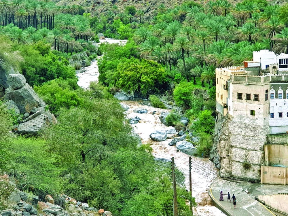
Clouds of different heights have been flowing over parts of the governorates of Musandam, Al Buraimi, North and South Al Batinah, Al Dakhiliyah, South Al Sharqiyah, Al Wusta and Dhofar deserts due to the impact of the westerly disturbance. The rains are expected to concentrate mainly around Al Hajr Mountains.
The rains are expected to begin around 2 pm to 3 pm and conclude around 10 pm, according to the weather forecaster at Oman Met Office.
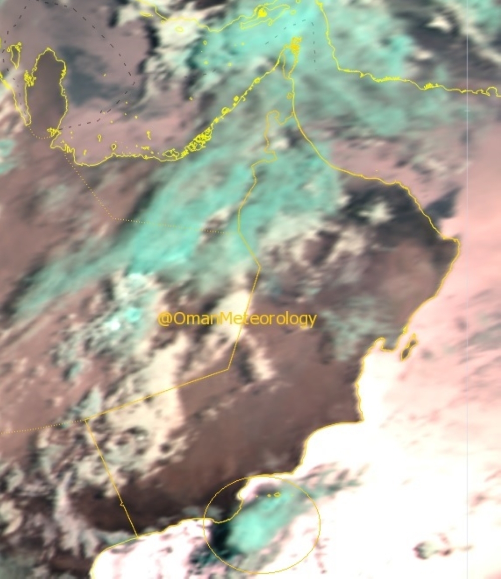
Rainy clouds were present in the morning on the coast of Dhofar as thunder cell formed near the state of Sadah, which the Oman Met Office had said may lead to thunderstorms and move cumulus clouds along the coasts of Dhofar Governorate.
“By afternoon the desert region of Dhofar Governorate is expected to receive rain especially Al Mazyuna and Thumrait,” said the weather forecaster.
He noted that in the Muscat Governorate the only places that could potentially receive the rain are south of Al Amerat and Quriyat.
Oman Met Office had stated that there are possibilities for the formation of cumulus clouds and scattered thunderstorms, sometimes accompanied by active downward winds, on parts of the Hajar Mountains and nearby areas.
The uniqueness is the combination of the trough passing from west to east and the Al Hajr’s local cloud formations that is the norm during the summer.
The rains would also be accompanied by the down draft wind, which could see dust rising in the areas of Al Hajr Mountains.
Oman Observer is now on the WhatsApp channel. Click here