


The Remote Sensing and Geographic Information Systems Research Centre at Sultan Qaboos University organised an event on Wednesday to mark the International Day for Geographic Information Systems (GIS), which
falls on November 13 every year.
Dr Yaseen bin Ahmed al Mulla, Director of the Centre and chairman of the organising committee, said that GIS is one of the important pillars of work at the centre along with remote sensing and the use and analysis of aerial images from the drones and satellites.
“GIS is a computerised system of information and organising data that are arranged on a spatial basis in accordance with collecting, processing, analysing and presentation of data related to spatial sites to derive important information extracted with maps with the least effort and the fastest time to use them in the planning and research and to find solutions to many related problems,” Dr Al Mulla said.
Dr Al Mulla added that the day is celebrated every year in about 80 countries around the world in order to identify the importance and usefulness of GIS in order to increase awareness of the community about this technology as well as to contribute to communication and cooperation between the university and the public and private sectors specialists in geospatial techniques.
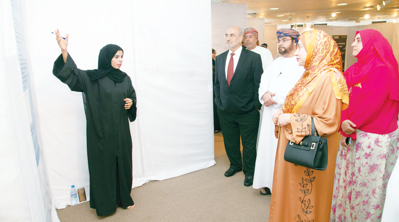
An exhibition of posters presenting GIS applications in different fields was also held with participation from within the university and from government and private institutions such as the National Survey Authority of the Ministry of Defence, the National Centre for Statistics and Information of the Supreme Council of Planning, the Ministry of Environment and
Climate Affairs, the Ministry of Agriculture and Fisheries, Haya Company, and the Ministry of Regional Municipalities and Water Resources.
Oman Observer is now on the WhatsApp channel. Click here