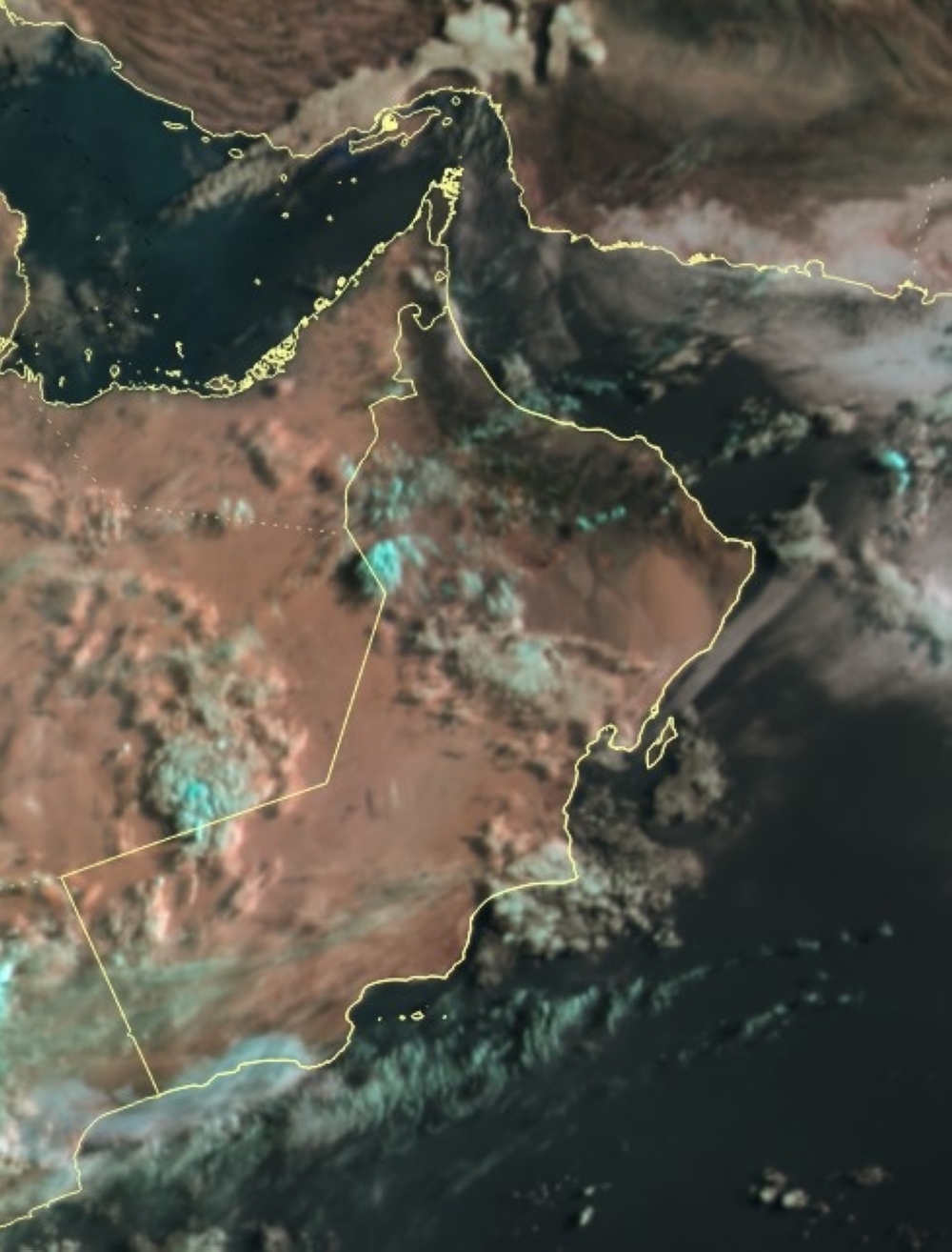


Muscat: There has been a continued influx of high and medium clouds over Oman's skies with chances of scattered rainfall along the Arabian Sea coasts and parts of the desert areas of the Dhofar and Al Wusta governorates.
There are chances of rising dust and sand in the desert areas of Al Wusta and Dhofar governorates.
Today, Monday, the Oman Met Office has said in its weather forecast that there are opportunities for the formation of cumulonimbus clouds that could result in thunderstorms of varying intensity, accompanied by active downdrafts, that will continue over parts of Al Hajar Mountains and adjacent areas, as well as parts of the Dhofar Governorate.
Meanwhile, Dam Wa At Taiyyin recorded the highest temperature in the country with 46.8 degrees Celsius.
The general weather forecast stated that partly cloudy to cloudy skies are expected over the coastal areas of the Dhofar governorate that could result in intermittent drizzle. Clear skies are expected to prevail over the rest of the governorates with medium and high cloud advection.
Low clouds/fog patches are expected late at night and early in the morning over the coastal areas of the Arabian Sea and Oman Sea.
The Oman Met Office has warned that there could be a reduction in visibility during fog formation, dust rise, and thundershowers
Oman Observer is now on the WhatsApp channel. Click here