

Muscat: A trough of low pressure is expected on Tuesday, April 23, bringing rain and causing wadis to flow.
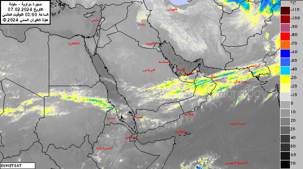
Forecasts indicate that the atmosphere of the Sultanate of Oman will be affected by an air depression starting on Tuesday until Thursday, where clouds are expected to flow and form, with chances of scattered rain of varying intensity, sometimes thunderous, accompanied by active fresh wind.
The governorates that are to be under the influence are Buraimi, North Al Batinah, South Al Batinah, Al Dhahirah, Muscat, Al Dakhiliyah, North Al Sharqiyah, South Al Sharqiyah, and Musandam.
The aerial image on Sunday afternoon showed the formation of local clouds over the Eastern and Central Hajar Mountains and on the coast of the South Al Sharqiyah Governorate, with chances of scattered precipitation later.
On Sunday high and medium clouds have been flowing over Al Wusta and Dhofar governorates.
Low clouds or fog form over the governorates of South Al Sharqiyah, Al Wusta, Dhofar, and parts of the coast of the Sea of Oman.
Along the Sea of Oman coasts, winds will be northerly to northeasterly light to moderate becoming variable light at night, while over the coastal areas of the Arabian Sea, it will be southerly to southeasterly light to moderate occasionally fresh and over the rest of the governorates wind will be northeasterly light to moderate.
The sea state is expected to be slight to moderate along Arabian Sea coasts with a maximum wave height of 2 meters and slight along most of the coasts of Oman with a maximum wave height of 1.25 meters.
Horizontal visibility may be reduced during rainfall, fog formation, and rising dust.
Oman Observer is now on the WhatsApp channel. Click here