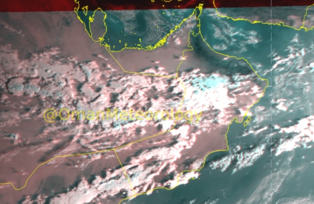


Muscat: The latest updates from the National Multi-Hazard Early Warning Center on Friday signal the approach of two successive weather systems in Oman.
Following yesterday's deluge in the northern governorates, another trough of low pressure is poised to affect the Sultanate from Monday through Wednesday.
This system will usher in clouds and sporadic rain across Musandam, North Al Batinah, and Al Bu-raimi, potentially leading to Wadis overflowing. By Thursday, the impact is expected to spread gradually to Al Hajar Mountains and coastal areas, possibly causing heavy rainfall.
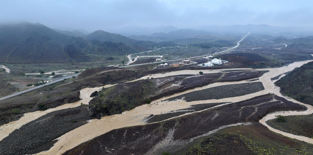
Thursday saw heavy rains pounding several northern governorates, including Muscat, resulting in inundation of low-lying areas and wadi overflow, thereby hampering traffic flow.
Looking ahead, there's a possibility of yet another trough affecting the region from Friday onwards. The National Multi-Hazard Early Warning Center is closely monitoring the situation and will issue updates as necessary.
Meanwhile, the Oman Met Office warns of rising sea waves until Saturday evening, especially along the coasts of Musandam Governorate and Bahraman. These areas may experience moderate to rough sea conditions due to active northeasterly winds. Along certain parts of the Arabian Sea coast, waves may be calm to moderate, though northwest wind activity could reduce visibility and contribute to the rise of dust until Saturday morning.
Oman Observer is now on the WhatsApp channel. Click here