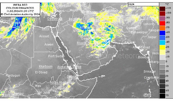


Muscat: Latest forecasts from Oman Meteorology suggest a continuation of scattered rainfall across the northern governorates of the Sultanate of Oman, commencing from Wednesday evening.
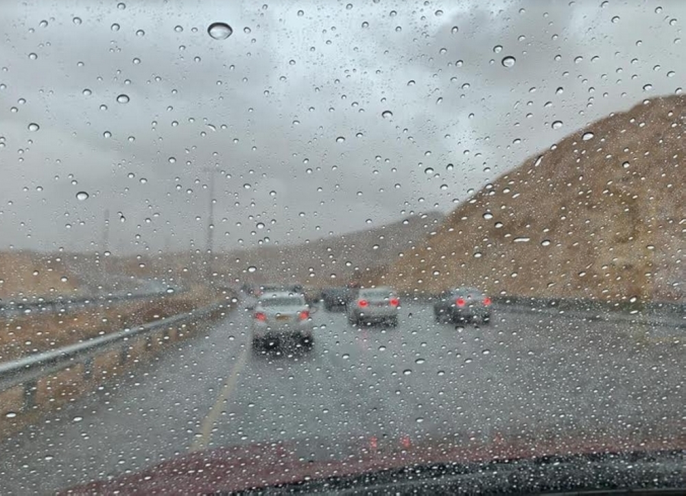
Heavy thundershowers associated with downdraft, fresh winds, and hail are expected from tomorrow morning over the Governorates of North al Batinah, Al Dhahirah, and Al Buraimi and gradually extend toward South al Batinah, Muscat, Al Dakhyliah, North al Sharqiyah, and South al Sharqiyah governorates at afternoon with precipitation ranging from 20 mm to 50 mm, which may lead to flash floods.
The Civil Aviation Authority has advised us to take precautions during thundershower rain not to cross Wadis (flash floods) avoid low-lying areas and not to sail during alert periods.
Alerts
Heavy thundershowers with hail (20-50 mm) may cause flash floods (Wadis).
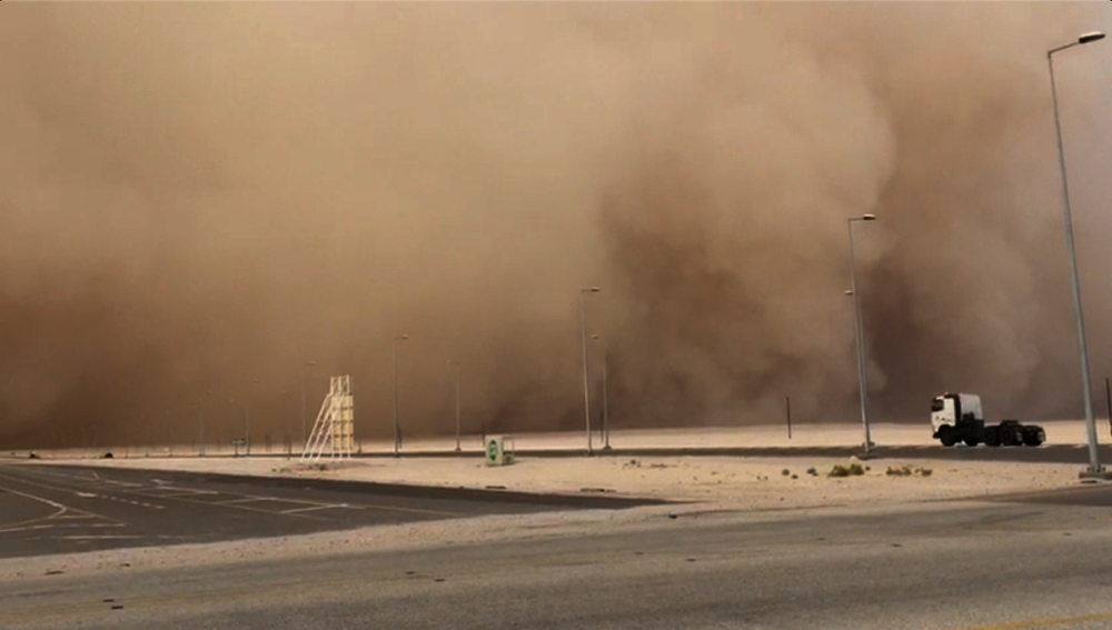
Strong downdraft active winds with speeds ranging from 15 - 35 knots (28 - 64 km/h).
• Sea state may rise along Musandam governorate and Sea of Oman coasts (2-3.5 meters).
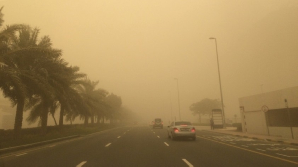
• Reduction in horizontal visibility during thundershowers.
Weather conditions are forecasted to taper off from Friday, with scattered rainfall persisting over northern Al Sharqiyah and southern Al Sharqiyah.
Additionally, active northwesterly winds ranging from 15 to 35 knots are expected to decrease horizontal visibility due to dust and debris, affecting most governorates.
Sea wave heights are anticipated to range from medium to rough (3.5 meters) along the western coast of Musandam and the Sea of Oman coast, coinciding with a noticeable drop in temperatures.
Low clouds are expected over coastal areas of the Sea of Oman and certain parts of South al Sharqiyah, North al Sharqiyah, and Al Buraimi. Moreover, low clouds and fog may spread over portions of South al Sharqiyah, Al Wusta, and the Dhofar coast.
Oman Observer is now on the WhatsApp channel. Click here