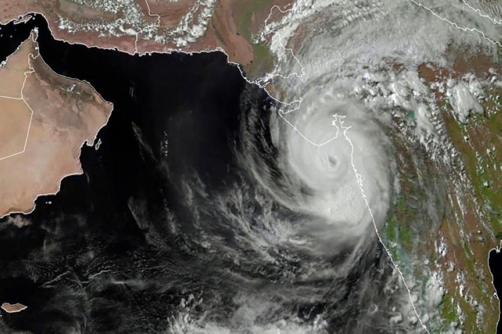


SINGAPORE: Half of the roughly 20 tropical cyclones expected to form in the western Pacific Ocean through September this year are predicted to hit land in east Asian nations, forecasters said on Friday, making for a season that is busier than usual.
Tropical cyclones, also known as typhoons and hurricanes, can pack wind speeds ranging from 63 kph to 250 kph, and the accompanying rain and storm surges can devastate coastal regions.
Such storms have wrought havoc running into damages of more than $175 billion across Asia in the past decade, international disaster database EM-DAT shows.
Five storms each are forecast to hit land in the regions of Eastern China and Taiwan, southern China and Vietnam, and the Philippines, said weather forecasters at the City University of Hong Kong, while Japan and Korea may only experience two.
That total exceeds the region's 30-year average of 13.5 cyclones in the months from April to September, according to the forecast.
"The number of tropical cyclones predicted to form between April 1 and September 3 is near- to above-normal," the university's Guy Carpenter Asia-Pacific Climate Impact Center added in its forecast.
Global warming is increasingly making storms more ferocious, atmospheric scientists warn, even if their total number is expected to remain the same or decrease in future.
Rising air and sea surface temperatures help fuel stronger storms, with the potential for faster wind speeds and heavier rain.
With a temperature higher than the global average, the western Pacific Ocean experiences more storms than any other part of the world.
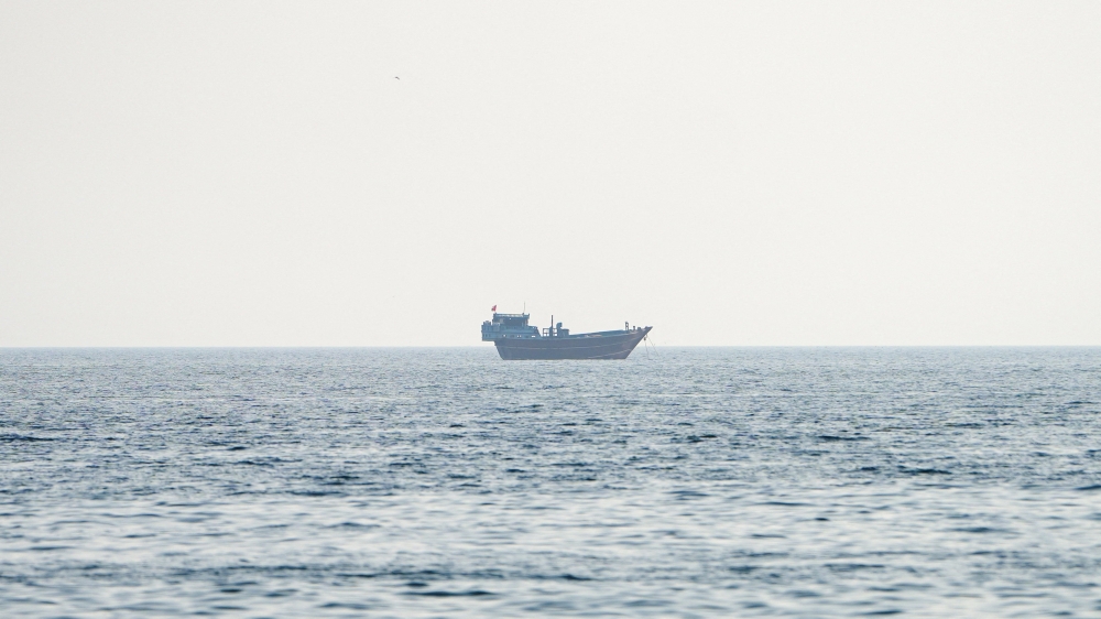
In mid-April, Surigae, the year's first supertyphoon, glanced off the Philippines, forcing the evacuation of more than 100,000 people.
But the majority of storms develop after July.
Last month the United States' National Oceanic and Atmospheric Administration forecast an above-normal 2021 Atlantic hurricane season, which officially began on June 1.
From a total of 13 to 20 tropical storms in 2021, it forecast between three and five major hurricanes would pack winds with sustained speeds of at least 111 mph, while six to 10 would have wind speeds of at least 74 mph.
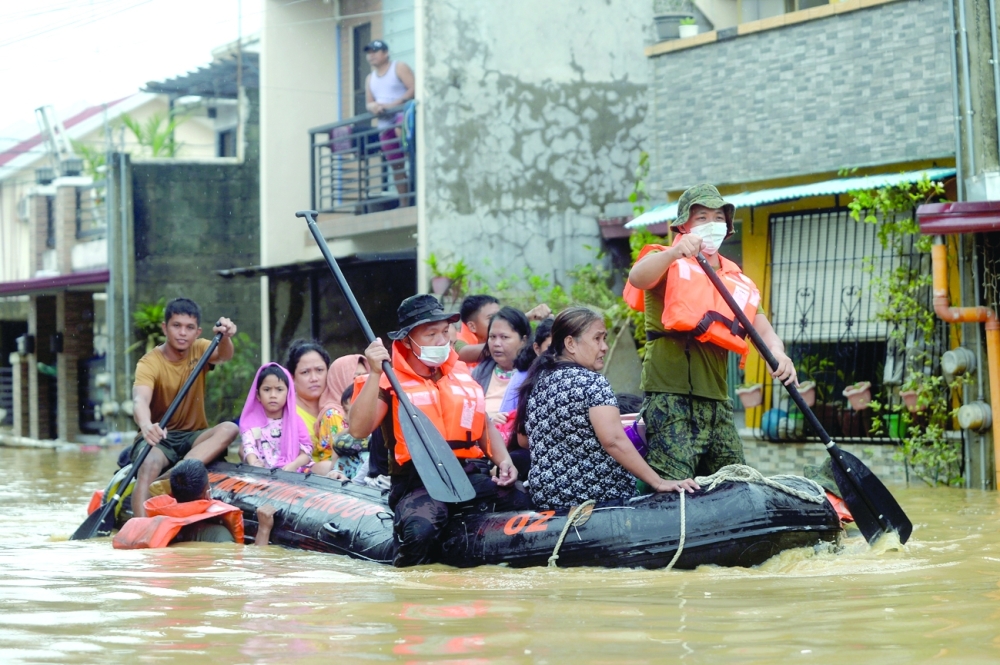
Meanwhile, the death toll from tropical storm Choi-Wan rose to eight in the Philippines, while 15 were still missing, disaster and civil defence agencies said on Thursday.
Four fatalities died in landslides and floods in the southern provinces of Davao Del Sur, Davao De Oro and South Cotabato, the national disaster agency said.
Two people were killed after being hit by lightning in separate incidents in the provinces of Occidental Mindoro and Oriental Mindoro, the regional civil defence office. In the eastern province of Leyte, a 51-year-old woman and an8-year-old boy drowned in floods, according to the provincial disaster council.
The 15 missing people included 12 fishermen who sailed despite the bad weather and two boys aged 2 and 7 who were swept away by flashfloods in Leyte, the national disaster agency said.
More than 12,000 people were displaced by Choi-Wan and forced to stay in evacuation centres, it added.
Choi-Wan was packing maximum sustained winds of 65 kilometres an hour (km/h) and gusts of up to 90 km/h, the weather bureau said.
It was moving north-west at 25 km/h and was expected to weaken and peter out on Saturday.
The Philippines is hit by an average of 20 tropical cyclones every year.
Oman Observer is now on the WhatsApp channel. Click here