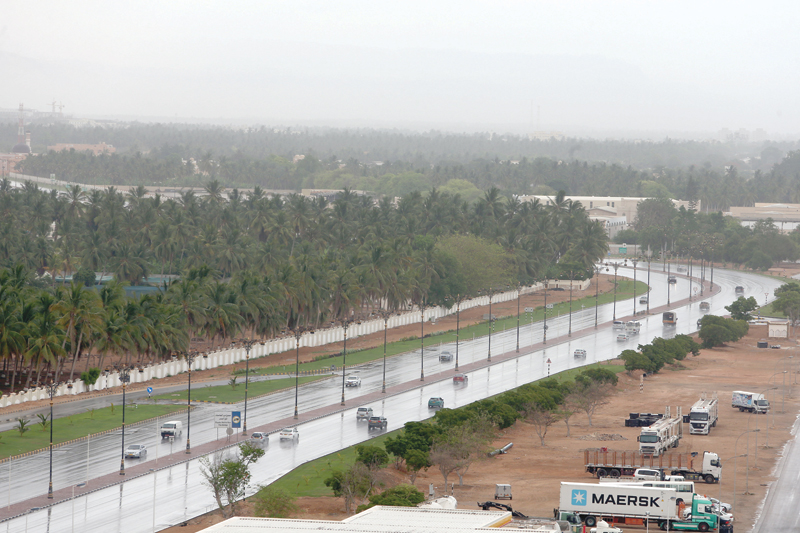

If Mekunu is to attain the status of Grade 2 then it would create history because never before has a grade 2 cyclone been recorded entering the Dhofar Coast before. None of the archives have recorded such an incident, according to an official at Oman Met Office.
At the National Early Warning Centre Meteorologists for the last few days, weather forecasters and other experts have been monitoring the weather maps illustrating the deep tropical depression in the Arabian Sea that developed into a tropical storm and then as cyclone named Mekunu with a status of grade 1. They continued to monitor it closely as it approaches category 2.
“The team has been producing bulletins, alerts and warnings from here,” said Dr Mohammed Nasser, CEO of Public Authority for Civil Aviation (PACA).
Speaking to the Observer he said, “They analyse all the data and then final report is produced. From the details we put out it in brief form to inform the government and the general public. All the other authorities are also following this data and analysis. Every six hours there will be a warning or alerts published for the public to follow until the system diminishes.” The officials were also quick to point out that it is important that public follow the reports from PACA other than the unofficial information posted on the social media.
“The cyclone in the northern hemisphere moves anti clock wise where as in the southern hemisphere it circles in clockwise. The indirect convictive clouds were already entered East of Thumrait by Thursday late afternoon with a little bit of dust blowing due to down trough. The centre of the system is expected to enter the coast of Dhofar during early morning on Saturday,” explained Abdullah al Balushi, Meteorologist at PACA.
Once the system enters land the meteorologists expect by Friday evening or Saturday afternoon advection of rainy clouds with fresh to strong North Easterly to Easterly winds with chance of blowing dust and rising winds in Duqum and the rest of Al Wusta. “So drivers have to be cautious about horizontal and vertical visibility,” said Al Balushi.
Because of Dhofar’s topography any tropical system that enters land is intensified due to the high mountains such as Jabal Samhan and Jabal Qamarcan trigger the system to intensify so the chances for rainfall is higher than land.
“The safest place to be would be away from the coastal areas but if that is not possible then the safest place would be home.
Do not venture out of the house unless there is an emergency. Muscat has been experiencing higher clouds but is not expected to receive rain,” conclude Abdullah al Balushi.
Oman Observer is now on the WhatsApp channel. Click here


