
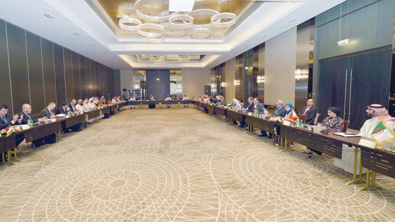


MUSCAT: The 5th meeting of the Arab Committee of the United Nations Experts on Geospatial Information Management (GIS) hosted by the Sultanate, represented by the National Survey Authority, began on Monday.
The three-day meeting was opened in the presence of Dr Abdulaziz bin Ibrahim al Saab, Chairman of the General Commission for Survey of Saudi Arabia, Chairman of the Arab Committee of the United Nations Experts on Geospatial Information Management, Dr Khalifa bin Abdullah al Barwani, CEO of National Centre for Statistics and Information, and Commodore Ahmed bin Saif al Badi, Chairman of the National Survey Authority, and members of the Committee.
The agenda of the meeting includes topics related to geospatial information, including the annual report of the Arab Committee of the United Nations experts on geospatial information management, the contributions of the United Nations and international organisations in the field of geospatial information, the Arab experiences in the use and development of geospatial work, Policy, awareness and capacity-building, basic geospatial data and standards, the geodetic reference framework, the integration of geospatial and statistical information, and finally to come out with the recommendations and decisions of this meeting.
The meeting aims to cooperate and coordinate the application of common elements of geospatial information systems according to geographic regions, to create unified standards for geospatial data and standardisation of the components of geospatial data infrastructure. The Arab Committee aims to coordinate efforts within Arab, regional and international borders, to exchange expertise in geospatial information systems. — ONA
Oman Observer is now on the WhatsApp channel. Click here