
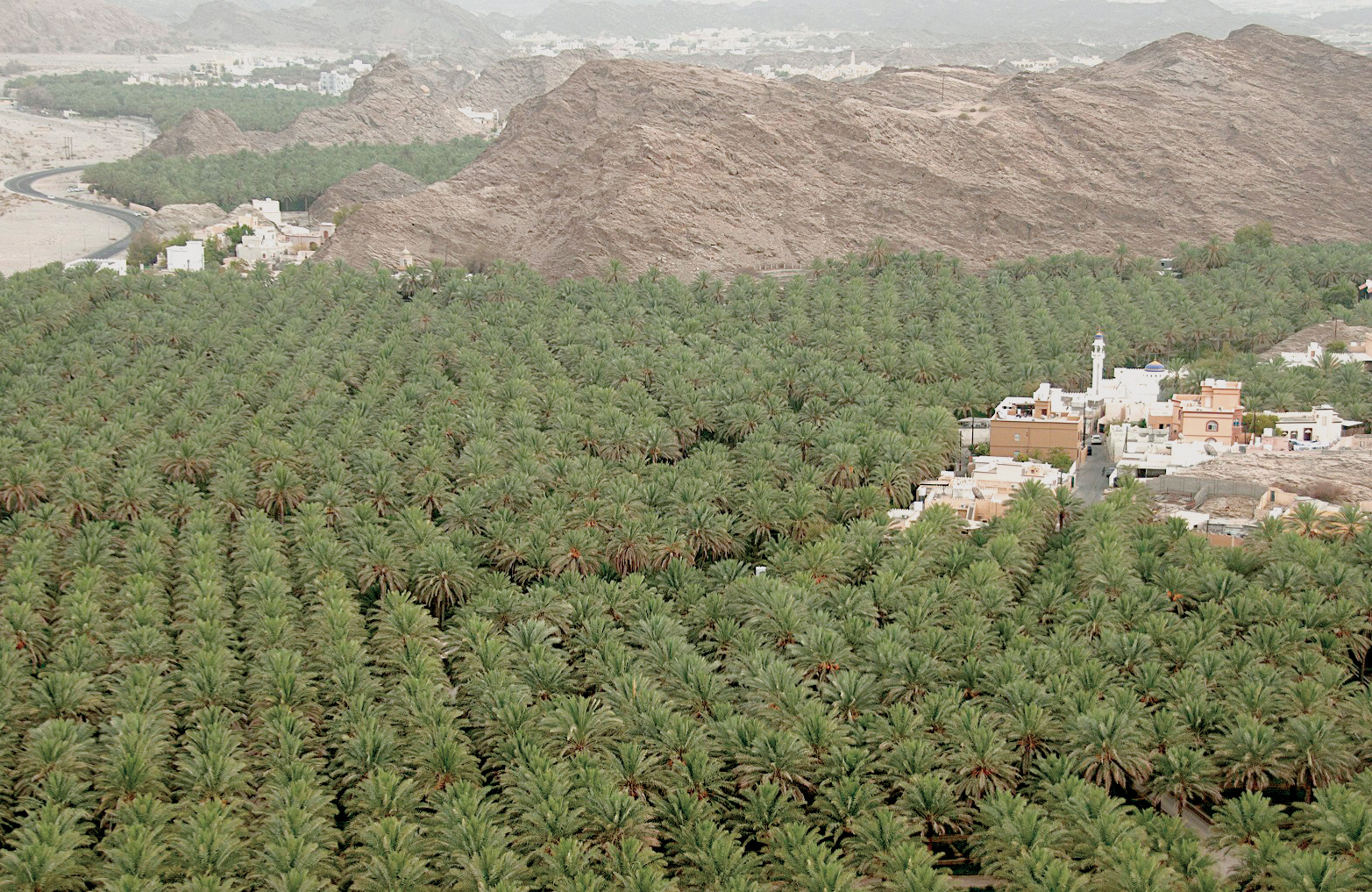


MUSCAT, Sept 18 - Wadi al Mayh, located within the Muscat Governorate, is a village that houses archaeological and geological sites of touristic importance. Tucked away between high mountains, the village is not easily visible. Tourists have to use the services of locals when visiting these sites. As you reach Wadi al Mayh from the main road (Al Amerat-Qurayat), one can see an open plain surrounded by high mountains. A Geo-Heritage Tour Guide source says Wadi al Mayh is located on the northeast of the town of Al Hajar on Muscat-Qurayat road. Some 17 km east of Al Hajir is a ‘syncline’, a trough or fold of a stratified rock. Here, the rock has formed into a ‘U’ shape. “As with much of the country’s sedimentary rock, this is limestone. It is about 270 million years old,” says the source.
Locals told the Observer this village consists of four small districts: Al Mazra, Al Hadri, Al Raga and Al Qabil. It has many archaeological sites on top of the mountain adjacent to the internal road, apart from heritage sites dating back to the pre-Islamic era. It also has tombs, old houses and some examples of ‘rock art’. Both locals and geologists demanded that the authorities take proper care of these sites. “Some areas have been affected by extreme weather conditions. These sites should be fenced and a preservation policy is need of the hour,” said the locals.
YAHYA AL SALMANI
Oman Observer is now on the WhatsApp channel. Click here